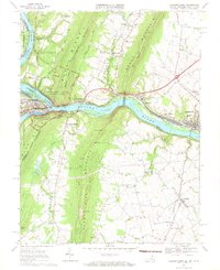
1969 Map of Harpers Ferry
USGS Topo · Published 1971About this map
Harpers Ferry National Historical Park stands at the dramatic confluence of the Potomac River and Shenandoah River, where three states meet. This late 1960s topographic survey captures the complex intersection of historical transportation and mountain geography. The Baltimore and Ohio Railroad follows the northern river bank alongside the Chesapeake and Ohio Canal, while the Appalachian Trail traverses the heights of Blue Ridge and South Mountain. South of the rivers, the landscape in Loudoun County, Virginia, is dotted with rural landmarks like St Pauls Ch and Georges Mill, reflecting a long-established agricultural pattern in the shadow of Short Hill Mountain. The town of Brunswick appears as a significant rail center, contrasted with the smaller village of Lovettsville to the south.
Find a feature on this map
66 named features on this map. Tap any name to fly to it.
Don’t see what you’re looking for? This feature index may not catch every label — zoom into the map to look around manually.
Map Details
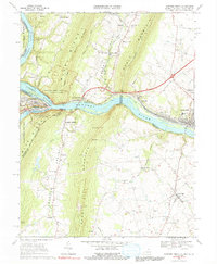
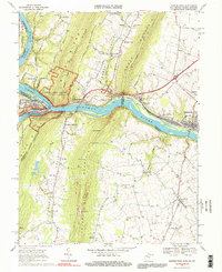
Editions of this 1969 Harpers Ferry Map
3 editions found
Other maps of this area

1884 · Harpers Ferry
USGS Topo · 1:125,000

1891 · Harpers Ferry
USGS Topo · 1:125,000

1893 · Harpers Ferry
USGS Topo · 1:125,000

1908 · Middletown
USGS Topo · 1:48,000

1910 · Antietam
USGS Topo · 1:62,500

1914 · Martinsburg
USGS Topo · 1:48,000

1916 · Martinsburg
USGS Topo · 1:62,500

1916 · Berryville
USGS Topo · 1:62,500

1939 · Berryville
USGS Topo · 1:48,000
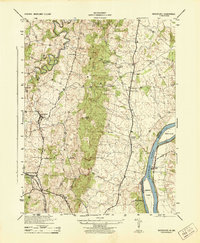
1944 · Waterford
USGS Topo · 1:31,680