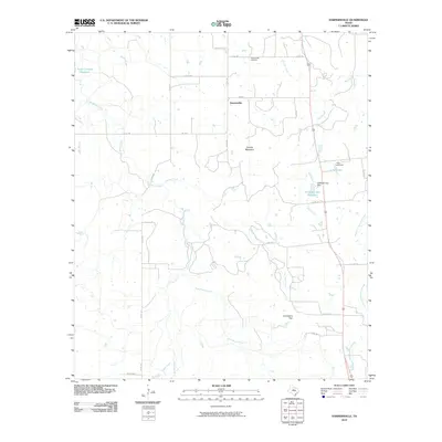
2010 Map of Harpersville
USGS Topo · Published 2010About this map
Harpersville and its surrounding ranchlands are defined by a complex network of seasonal drainages and local water management features in this modern Texas survey. The landscape is carved by numerous tributaries including Big Sandy Creek, Live Oak Creek, and West Fork Gunsolus Creek, which feed into various man-made catchments such as the Texas Company Reservoir and the H Graden Dye Reservoir. Significant terrain markers like Double Mountain and Limestone Gap provide orientation points across the undulating cattle country of Stephens County. For those researching local roots, the Harpersville Cemetery remains a primary landmark north of the settlement. The map illustrates a contemporary rural infrastructure where farm-to-market roads like FM 1032 and various county routes connect isolated homesteads and family-held waters like J Dye Lake.
Find a feature on this map
33 named features on this map. Tap any name to fly to it.
Don’t see what you’re looking for? This feature index may not catch every label — zoom into the map to look around manually.
Map Details
Editions of this 2010 Harpersville Map
This is the sole edition of this map. No revisions or reprints were ever made.
Other maps of this area

1890 · Breckenridge
USGS Topo · 1:125,000

1892 · Albany
USGS Topo · 1:125,000

1893 · Albany
USGS Topo · 1:125,000

1894 · Eastland
USGS Topo · 1:125,000

1931 · Baird
USGS Topo · 1:125,000

1932 · Baird
USGS Topo · 1:125,000

1954 · Abilene
USGS Topo · 1:250,000

1958 · Abilene
USGS Topo · 1:250,000

1961 · Buck Mountain
USGS Topo · 1:24,000

1961 · Eolian
USGS Topo · 1:24,000