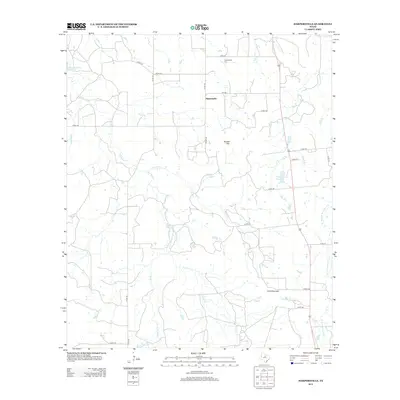
2012 Map of Harpersville
USGS Topo · Published 2012About this map
The small community of Harpersville serves as the focal point of this North Texas landscape, situated along FM-1032 and Co RD-164. The area is characterized by a complex network of waterways, including Big Sandy Cr and Live Oak Cr, which feed into various man-made water features such as the Texas Company Reservoir and the H Graden Dye Reservoir. For those researching family history in Stephens County, the Harpersville Cem located north of the main settlement provides a vital point of reference.
Find a feature on this map
34 named features on this map. Tap any name to fly to it.
Don’t see what you’re looking for? This feature index may not catch every label — zoom into the map to look around manually.
Map Details
Editions of this 2012 Harpersville Map
This is the sole edition of this map. No revisions or reprints were ever made.
Other maps of this area

1890 · Breckenridge
USGS Topo · 1:125,000

1892 · Albany
USGS Topo · 1:125,000

1893 · Albany
USGS Topo · 1:125,000

1894 · Eastland
USGS Topo · 1:125,000

1931 · Baird
USGS Topo · 1:125,000

1932 · Baird
USGS Topo · 1:125,000

1954 · Abilene
USGS Topo · 1:250,000

1958 · Abilene
USGS Topo · 1:250,000

1961 · Buck Mountain
USGS Topo · 1:24,000

1961 · Eolian
USGS Topo · 1:24,000