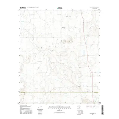
2016 Map of Harpersville
USGS Topo · Published 2016About this map
Harpersville and its surrounding ranchlands sit at the northern edge of this 2016 survey, where the local landscape transitions between the rolling uplands of Stephens and Eastland counties. The area is defined by a sophisticated network of water management and natural drainage, including the Texas Company Reservoir and the H Graden Dye Reservoir. Notable topographic landmarks such as Double Mtn and Limestone Gap break the horizon, offering distinct navigational points for those tracing historical land use or movement through the corridor east of 183.
Find a feature on this map
34 named features on this map. Tap any name to fly to it.
Don’t see what you’re looking for? This feature index may not catch every label — zoom into the map to look around manually.
Map Details
Editions of this 2016 Harpersville Map
This is the sole edition of this map. No revisions or reprints were ever made.
Other maps of this area

1890 · Breckenridge
USGS Topo · 1:125,000

1892 · Albany
USGS Topo · 1:125,000

1893 · Albany
USGS Topo · 1:125,000

1894 · Eastland
USGS Topo · 1:125,000

1931 · Baird
USGS Topo · 1:125,000

1932 · Baird
USGS Topo · 1:125,000

1954 · Abilene
USGS Topo · 1:250,000

1958 · Abilene
USGS Topo · 1:250,000

1961 · Buck Mountain
USGS Topo · 1:24,000

1961 · Eolian
USGS Topo · 1:24,000