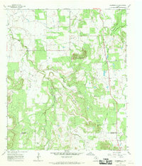
1967 Map of Harpersville
USGS Topo · Published 1970About this map
Harpersville occupies the northern plains of the Texas Cross Timbers in the late 1960s, a landscape defined by ranching and oil extraction near the border of Stephens and Eastland counties. The terrain is marked by a network of drainage systems including Big Sandy Creek and Iron Ore Creek, which carve through the limestone-rich soil toward the West Fork Gonzales Creek. Prominent landmarks such as Double Mountain and Limestone Gap break the horizon, providing natural orientation points in this rural expanse.
Find a feature on this map
21 named features on this map. Tap any name to fly to it.
Don’t see what you’re looking for? This feature index may not catch every label — zoom into the map to look around manually.
Map Details
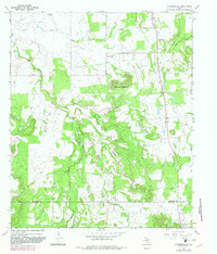
Editions of this 1967 Harpersville Map
2 editions found
Other maps of this area

1890 · Breckenridge
USGS Topo · 1:125,000

1892 · Albany
USGS Topo · 1:125,000

1893 · Albany
USGS Topo · 1:125,000

1894 · Eastland
USGS Topo · 1:125,000

1931 · Baird
USGS Topo · 1:125,000

1932 · Baird
USGS Topo · 1:125,000

1954 · Abilene
USGS Topo · 1:250,000

1958 · Abilene
USGS Topo · 1:250,000

1961 · Buck Mountain
USGS Topo · 1:24,000

1961 · Eolian
USGS Topo · 1:24,000