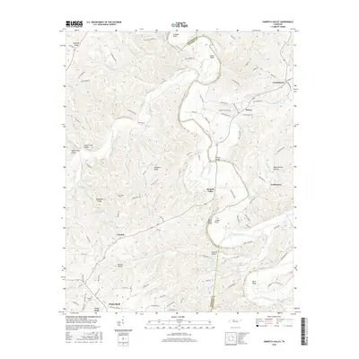
2016 Map of Harpeth Valley
USGS Topo · Published 2016About this map
The Harpeth River carves a winding path through the borderlands of Cheatham and Dickson Counties, creating dramatic topographical features such as Johnson Bend, Collier Bend, and Bells Bend. This 2016 survey documents the rural character of the region, anchored by the town of White Bluff in the southwest and smaller settlements like Petway, Germantown, and Claylick. The landscape is defined by its complex hydrology, with numerous creeks like Jones Creek and Leatherwood Cr feeding into the main river valley. Cultural landmarks provide depth for local history, including the Petway Bridge and family-named sites such as Nosegay Cem and Williams Cem. From the heights of Harpeth Ridge down to the secluded England Hollow, the map provides a contemporary record of land use and drainage patterns in this central Tennessee corridor.
Find a feature on this map
106 named features on this map. Tap any name to fly to it.
Don’t see what you’re looking for? This feature index may not catch every label — zoom into the map to look around manually.
Map Details
Editions of this 2016 Harpeth Valley Map
This is the sole edition of this map. No revisions or reprints were ever made.
Other maps of this area

1930 · White Bluff
USGS Topo · 1:62,500

1933 · White Bluff
USGS Topo · 1:62,500

1936 · Burns
USGS Topo · 1:24,000

1953 · Burns
USGS Topo · 1:24,000

1956 · Nashville
USGS Topo · 1:250,000

1957 · Cheatham Dam
USGS Topo · 1:24,000

1957 · Ashland City
USGS Topo · 1:24,000

1958 · Charlotte
USGS Topo · 1:24,000

1958 · Cumberland Furnace
USGS Topo · 1:24,000

1959 · Nashville
USGS Topo · 1:250,000