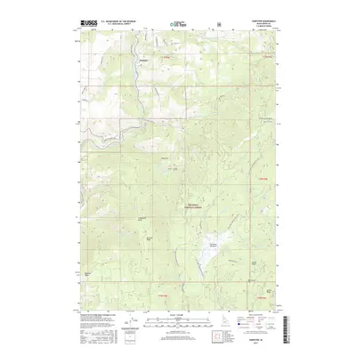
2017 Map of Harpster
USGS Topo · Published 2017About this map
The South Fork Clearwater River winds through the northern portion of this Idaho County landscape, anchoring the settlement of Harpster. This area represents a transition from river valley to the elevated timberlands of the Nez Perce National Forest. The geography is defined by steep ridges and high meadows, including the notable McComas Meadows in the southern portion of the quadrangle. Local transportation is facilitated by named routes such as Harpster Grade Rd and China Garden Rd, which navigate the elevation changes between the river and landmarks like Sugarloaf and Green Creek Point. High points such as Blacktail Butte and Monument Hill provide significant navigational markers within the forest. The map detail reflects a region historically tied to river access and national forest management, with numerous creeks including Wall Cr and Meadow Cr feeding into the Clearwater system.
Find a feature on this map
57 named features on this map. Tap any name to fly to it.
Don’t see what you’re looking for? This feature index may not catch every label — zoom into the map to look around manually.
Map Details
Editions of this 2017 Harpster Map
This is the sole edition of this map. No revisions or reprints were ever made.
Other maps of this area

1924 · Kamiah
USGS Topo · 1:125,000

1924 · Weippe
USGS Topo · 1:125,000

1931 · Buffalo Hump
USGS Topo · 1:125,000

1934 · Buffalo Hump
USGS Topo · 1:125,000

1955 · Pullman
USGS Topo · 1:250,000

1955 · Grangeville
USGS Topo · 1:250,000

1956 · Elk City
USGS Topo · 1:250,000

1956 · Hamilton
USGS Topo · 1:250,000

1958 · Pullman
USGS Topo · 1:250,000

1959 · Grangeville
USGS Topo · 1:250,000