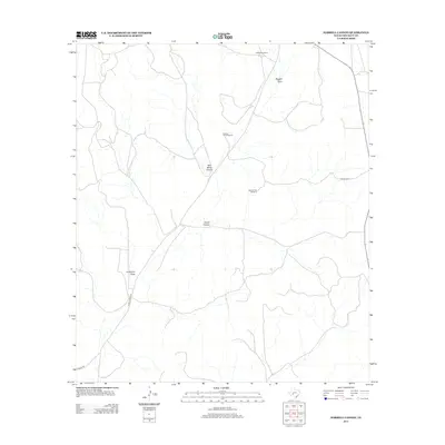
2012 Map of Harrell Canyon
USGS Topo · Published 2012About this map
Hagelstein Ranch and Herrell Ranch anchor this West Texas ranching landscape, where the management of water is central to the land's utility. Isolated infrastructure like the Sulphur Trap Windmill and West Divide Windmill reveal the sparse but essential network required to sustain livestock across the arid terrain. The topography is defined by significant drainages and seasonal watercourses, including Baggett Draw and Anderson Draw, which carve through the high plateau. These natural features, alongside Bertz Mertz Canyon and Herrell Canyon, dictate the movement of roads such as Ranch Road 1973 and Kincaid Rd. The map illustrates a contemporary livestock economy that relies on established family-named holdings and a carefully maintained system of wells and windmills in Crockett County.
Find a feature on this map
14 named features on this map. Tap any name to fly to it.
Don’t see what you’re looking for? This feature index may not catch every label — zoom into the map to look around manually.
Map Details
Editions of this 2012 Harrell Canyon Map
This is the sole edition of this map. No revisions or reprints were ever made.
Other maps of this area

1954 · Sonora
USGS Topo · 1:250,000

1958 · Sonora
USGS Topo · 1:250,000

1967 · Baggett Ranch
USGS Topo · 1:24,000

1967 · Ozona SE
USGS Topo · 1:24,000

1967 · Hunt Ranch
USGS Topo · 1:24,000

1969 · Wild Horse Canyon
USGS Topo · 1:24,000

1970 · Howards Well NE
USGS Topo · 1:24,000

1970 · Aermotor Draw
USGS Topo · 1:24,000

1970 · Indian Draw
USGS Topo · 1:24,000

1970 · Brushy Draw
USGS Topo · 1:24,000