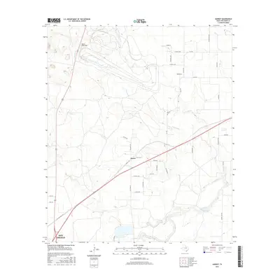
2016 Map of Harriet
USGS Topo · Published 2016About this map
Harriet sits at the center of this 2016 survey, where the rolling plains of Tom Green County are etched by a network of seasonal waterways. The landscape is defined by the convergence of several small tributaries including Tenmile Cr, Crows Nest Cr, and Valentine Br, all of which feed toward the Concho River Erwin-Jordan Reservoir in the southeast. This map illustrates a transition between the northern outskirts of San Angelo and a rural expanse managed through a grid of farm-to-market roads and local lanes.
Find a feature on this map
42 named features on this map. Tap any name to fly to it.
Don’t see what you’re looking for? This feature index may not catch every label — zoom into the map to look around manually.
Map Details
Editions of this 2016 Harriet Map
This is the sole edition of this map. No revisions or reprints were ever made.
Other maps of this area

1891 · Hayrick
USGS Topo · 1:125,000

1892 · San Angelo
USGS Topo · 1:125,000

1894 · Hayrick
USGS Topo · 1:125,000

1921 · Baker Flat
USGS Topo · 1:31,680

1924 · San Angelo 2-b
USGS Topo · 1:48,000

1928 · Wall
USGS Topo · 1:62,500

1954 · San Angelo
USGS Topo · 1:250,000

1957 · Eola
USGS Topo · 1:62,500

1957 · Miles
USGS Topo · 1:62,500
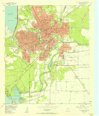
1957 · San Angelo South
USGS Topo · 1:24,000