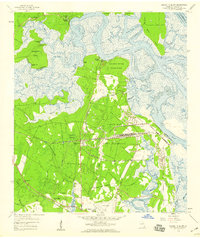
1958 Map of Harrietts Bluff
USGS Topo · Published 1959About this map
The King's Bay Army Terminal and the adjacent Crooked River State Park define this coastal landscape as it appeared in the late 1950s. The region is characterized by a complex network of tidewater channels and salt marshes, including Kings Bay and the winding Crooked River. The presence of the Seaboard Air Line railroad and the St Marys Airport highlights the mid-century infrastructure supporting the expansion of St Marys and its military facilities.
Find a feature on this map
42 named features on this map. Tap any name to fly to it.
Don’t see what you’re looking for? This feature index may not catch every label — zoom into the map to look around manually.
Map Details
Editions of this 1958 Harrietts Bluff Map
2 editions found
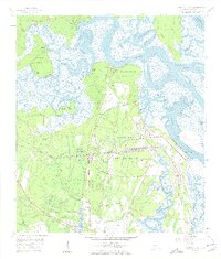
Other maps of this area

1918 · St Marys
USGS Topo · 1:62,500

1918 · Cumberland Island
USGS Topo · 1:62,500

1918 · Kingsland
USGS Topo · 1:62,500

1919 · Fernandina
USGS Topo · 1:62,500

1919 · St Marys
USGS Topo · 1:62,500

1930 · Cumberland Island
USGS Topo · 1:62,500

1944 · Fernandina
USGS Topo · 1:62,500

1945 · Cumberland Island
USGS Topo · 1:62,500

1948 · Jacksonville
USGS Topo · 1:250,000

1957 · Jacksonville
USGS Topo · 1:250,000