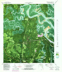
1980 Map of Harrietts Bluff
USGS Topo · Published 1988About this map
John H McIntosh Sugar Mill Site Ruins stand as a physical connection to the coastal industrial past of Camden County, situated near the modern installations of the Kings Bay Naval Submarine Support Base. The landscape is dominated by the intricate tidal network of the Crooked River and Sadlers Creek, where numerous bluffs like Harrietts Bluff and Elliotts Bluff provided high ground for small settlements and landings. This 1980s data illustrates the area's transition into a significant military and conservation hub, featuring the Crooked River State Park and the western edge of the Cumberland Island National Seashore. Farther inland, rural communities such as Scotchville and New Hope are marked by local landmarks like St Johns Ch and the House of Prayer Ch, while the St Marys Airport and Colerain Road anchor the southern transport corridor.
Find a feature on this map
46 named features on this map. Tap any name to fly to it.
Don’t see what you’re looking for? This feature index may not catch every label — zoom into the map to look around manually.
Map Details
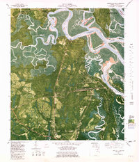
Editions of this 1980 Harrietts Bluff Map
2 editions found
Other maps of this area

1918 · St Marys
USGS Topo · 1:62,500

1918 · Cumberland Island
USGS Topo · 1:62,500

1918 · Kingsland
USGS Topo · 1:62,500

1919 · Fernandina
USGS Topo · 1:62,500

1919 · St Marys
USGS Topo · 1:62,500

1930 · Cumberland Island
USGS Topo · 1:62,500

1944 · Fernandina
USGS Topo · 1:62,500

1945 · Cumberland Island
USGS Topo · 1:62,500

1948 · Jacksonville
USGS Topo · 1:250,000

1957 · Jacksonville
USGS Topo · 1:250,000