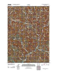
2011 Map of Harrington Creek
USGS Topo · Published 2011About this map
Brown Mountain overlooks a landscape defined by the drainage networks of Douglas County, where the headwaters of the Calapooia and Rock Creek systems converge. This area is characterized by its complex hydrology, featuring the Middle Fork Calapooia Creek and South Fork Calapooia Creek in the northwest, alongside numerous tributaries like Twin Cedar Creek and Cleft Creek to the east. Bureau of Land Management routes, including BLM 1.0 Rd and BLM 16.0 Rd, provide the primary access into these steep timberlands. The naming conventions of the waterways—such as Hurry-Up Creek, Cobble Creek, and Pebble Creek—reflect the local character of these mountain streams. Researchers can trace the winding course of Harrington Creek and Shoup Creek as they flow south toward Rock Creek Rd, illustrating the intersection of modern forestry infrastructure and the natural watershed.
Find a feature on this map
21 named features on this map. Tap any name to fly to it.
Don’t see what you’re looking for? This feature index may not catch every label — zoom into the map to look around manually.
Map Details
Editions of this 2011 Harrington Creek Map
This is the sole edition of this map. No revisions or reprints were ever made.
Other maps of this area

1897 · Roseburg
USGS Topo · 1:125,000

1900 · Roseburg
USGS Topo · 1:125,000

1935 · Lowell
USGS Topo · 1:96,000

1942 · Lowell
USGS Topo · 1:125,000

1954 · Anlauf
USGS Topo · 1:62,500

1954 · Glide
USGS Topo · 1:62,500

1955 · Mace Mtn
USGS Topo · 1:62,500

1955 · Culp Creek
USGS Topo · 1:62,500

1958 · Roseburg
USGS Topo · 1:250,000

1959 · Roseburg
USGS Topo · 1:250,000