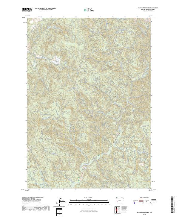
2023 Map of Harrington Creek
USGS Topo · Published 2023About this map
Middle Fork Calapooya Creek and its many tributaries carve through the timberlands of Douglas County on this recent survey. The terrain is defined by prominent high points such as Cobble Knob and the linear features of Twin Cedar Rdg and Happy Rdg. The map shows a sophisticated network of forest management roads, including Shoup Creek Rd and BLM Rd 1.0, which provide access to these high elevations. Water drainage is intricate, with Harrington Creek and Miller Creek feeding the larger river systems. Historically named areas like Old Mellow Moon Sp and Old Twin Cedars reflect the long-standing local nomenclature used by those working and traveling through these Cascades foothills. This cartography provides an essential resource for understanding the modern landscape of the Umpqua National Forest region.
Find a feature on this map
43 named features on this map. Tap any name to fly to it.
Don’t see what you’re looking for? This feature index may not catch every label — zoom into the map to look around manually.
Map Details
Editions of this 2023 Harrington Creek Map
This is the sole edition of this map. No revisions or reprints were ever made.
Other maps of this area

1897 · Roseburg
USGS Topo · 1:125,000

1900 · Roseburg
USGS Topo · 1:125,000

1935 · Lowell
USGS Topo · 1:96,000

1942 · Lowell
USGS Topo · 1:125,000

1954 · Anlauf
USGS Topo · 1:62,500

1954 · Glide
USGS Topo · 1:62,500

1955 · Mace Mtn
USGS Topo · 1:62,500

1955 · Culp Creek
USGS Topo · 1:62,500

1958 · Roseburg
USGS Topo · 1:250,000

1959 · Roseburg
USGS Topo · 1:250,000