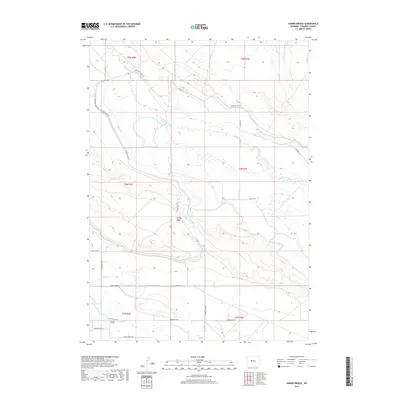
2017 Map of Harris Bridge
USGS Topo · Published 2017About this map
Muddy Creek and the Wyoming Canal define the agricultural and hydraulic character of this Fremont County landscape. The 2017 survey details a network of water management and local infrastructure, where the Wyoming Canal follows the contour of the land to support regional irrigation. The eponymous Harris Bridge crosses Fivemile Cr in the southwestern portion of the map, serving as a critical waypoint for local travel along W Powerline Rd. The terrain is marked by the prominent Muddy Ridge, which separates the drainage of Muddy Creek from the lower-lying flats. This map illustrates the intersection of natural watercourses and the engineered systems like the Wyoming Canal that have long sustained life in this part of Wyoming. A series of named tracks, including Sheep Camp Rd and Indian Ridge Rd, provide access to the rangelands and interior ridges.
Find a feature on this map
21 named features on this map. Tap any name to fly to it.
Don’t see what you’re looking for? This feature index may not catch every label — zoom into the map to look around manually.
Map Details
Editions of this 2017 Harris Bridge Map
This is the sole edition of this map. No revisions or reprints were ever made.
Other maps of this area

1950 · Pavillion
USGS Topo · 1:24,000

1950 · Pavillion Butte
USGS Topo · 1:24,000

1950 · Harris Bridge
USGS Topo · 1:24,000

1950 · Mexican Pass SW
USGS Topo · 1:24,000

1950 · Ocean Lake
USGS Topo · 1:24,000

1950 · Shotgun Butte
USGS Topo · 1:24,000

1951 · Mexican Pass
USGS Topo · 1:24,000

1951 · Jenkins Mountain
USGS Topo · 1:24,000

1952 · Lost Wells Butte
USGS Topo · 1:24,000

1955 · Thermopolis
USGS Topo · 1:250,000