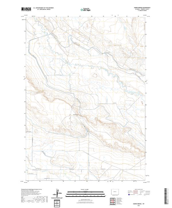
2021 Map of Harris Bridge
USGS Topo · Published 2021About this map
Muddy Creek meanders across this Fremont County landscape, carving a low-lying basin framed by the elevated terrain of Muddy Ridge. The mapping reveals a detailed network of rural infrastructure, where service routes like W Powerline Rd and E Powerline Rd parallel the southern drainages. The primary watercourses, including Fivemile Cr, dictate the placement of local crossings and ranch access points, most notably at Harris Bridge in the southwestern corner. The presence of Wyoming Canal Rd and Tunnel Hill Rd indicates a landscape shaped by water management and transit, with a regular grid of section lines defining land ownership and agricultural potential. Named roads like Sheep Camp Rd and Indian Ridge Rd reflect the pastoral and historical legacy of this high-plains region during the early twenty-first century.
Find a feature on this map
20 named features on this map. Tap any name to fly to it.
Don’t see what you’re looking for? This feature index may not catch every label — zoom into the map to look around manually.
Map Details
Editions of this 2021 Harris Bridge Map
This is the sole edition of this map. No revisions or reprints were ever made.
Other maps of this area

1950 · Pavillion
USGS Topo · 1:24,000

1950 · Pavillion Butte
USGS Topo · 1:24,000

1950 · Harris Bridge
USGS Topo · 1:24,000

1950 · Mexican Pass SW
USGS Topo · 1:24,000

1950 · Ocean Lake
USGS Topo · 1:24,000

1950 · Shotgun Butte
USGS Topo · 1:24,000

1951 · Mexican Pass
USGS Topo · 1:24,000

1951 · Jenkins Mountain
USGS Topo · 1:24,000

1952 · Lost Wells Butte
USGS Topo · 1:24,000

1955 · Thermopolis
USGS Topo · 1:250,000