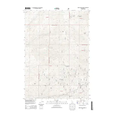
2013 Map of Harris Creek Summit
USGS Topo · Published 2013About this map
Harris Creek Summit serves as a central landmark in this high-elevation Boise County landscape, which is almost entirely contained within the Boise National Forest. The map documents a complex drainage system defined by deep gulches and creek beds, such as Confederate Gulch and North Deadman Gulch, which cut through the Boise Ridge. Notable peaks like Hawley Mtn overlook a network of forest roads and trails, including Jackass Creek Rd and Star Ranch Rd, that follow the natural contours of the terrain.
Find a feature on this map
35 named features on this map. Tap any name to fly to it.
Don’t see what you’re looking for? This feature index may not catch every label — zoom into the map to look around manually.
Map Details
Editions of this 2013 Harris Creek Summit Map
This is the sole edition of this map. No revisions or reprints were ever made.
Other maps of this area

1892 · Boise
USGS Topo · 1:125,000

1894 · Squaw Creek
USGS Topo · 1:125,000

1894 · Idaho Basin
USGS Topo · 1:125,000

1897 · Boise
USGS Topo · 1:125,000

1909 · Garden Valley
USGS Topo · 1:125,000

1953 · Banks
USGS Topo · 1:62,500

1955 · Baker
USGS Topo · 1:250,000

1955 · Hailey
USGS Topo · 1:250,000

1955 · Boise
USGS Topo · 1:250,000

1957 · Cartwright Canyon
USGS Topo · 1:24,000