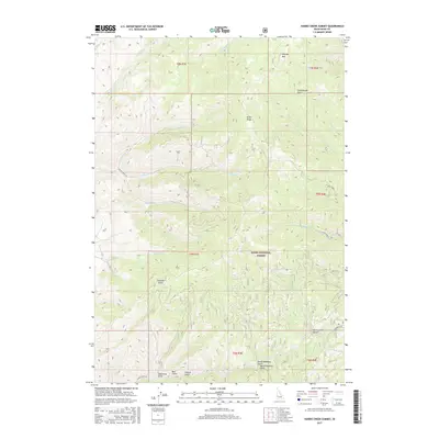
2017 Map of Harris Creek Summit
USGS Topo · Published 2017About this map
Harris Creek Summit serves as a focal point within this 2017 study of the Boise National Forest in Boise County. The terrain is defined by a complex network of steep drainages, including the aptly named North Deadman Gulch and South Deadman Gulch, which feed into Harris Creek. These deep incisions in the Boise Ridge landscape reveal a history of resource extraction and mountain transit, evidenced by the proximity of Quartzburg and the winding Harris Creek Road.
Find a feature on this map
35 named features on this map. Tap any name to fly to it.
Don’t see what you’re looking for? This feature index may not catch every label — zoom into the map to look around manually.
Map Details
Editions of this 2017 Harris Creek Summit Map
This is the sole edition of this map. No revisions or reprints were ever made.
Other maps of this area

1892 · Boise
USGS Topo · 1:125,000

1894 · Squaw Creek
USGS Topo · 1:125,000

1894 · Idaho Basin
USGS Topo · 1:125,000

1897 · Boise
USGS Topo · 1:125,000

1909 · Garden Valley
USGS Topo · 1:125,000

1953 · Banks
USGS Topo · 1:62,500

1955 · Baker
USGS Topo · 1:250,000

1955 · Hailey
USGS Topo · 1:250,000

1955 · Boise
USGS Topo · 1:250,000

1957 · Cartwright Canyon
USGS Topo · 1:24,000