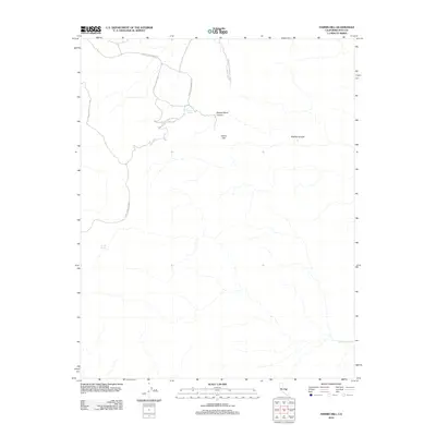
2012 Map of Harris Hill
USGS Topo · Published 2012About this map
Death Valley National Park encompasses this high-altitude desert terrain, where the eponymous Harris Hill stands as a prominent landmark. The landscape is defined by deep drainage systems including Shorty Harris Canyon and Marble Canyon, which reveal the complex topography of Inyo County. Human presence in this environment is tethered to vital water sources such as Goldbelt Spring, Hunter Spring, and Cottonwood Springs. Access to these points is facilitated by the winding Hunter Mountain Rd, which serves as the primary corridor through the northern section of the map. This survey provides a precise record of the available resources and natural boundaries within this protected wilderness area in the early 21st century.
Find a feature on this map
8 named features on this map. Tap any name to fly to it.
Don’t see what you’re looking for? This feature index may not catch every label — zoom into the map to look around manually.
Map Details
Editions of this 2012 Harris Hill Map
This is the sole edition of this map. No revisions or reprints were ever made.
Other maps of this area

1908 · Ballarat
USGS Topo · 1:250,000

1913 · Ballarat
USGS Topo · 1:250,000

1948 · Death Valley
USGS Topo · 1:250,000

1950 · Darwin
USGS Topo · 1:62,500

1950 · Ubehebe Peak
USGS Topo · 1:62,500

1951 · Darwin
USGS Topo · 1:62,500

1951 · Ubehebe Peak
USGS Topo · 1:62,500

1951 · Panamint Butte
USGS Topo · 1:62,500

1951 · Marble Canyon
USGS Topo · 1:62,500

1954 · Death Valley
USGS Topo · 1:250,000