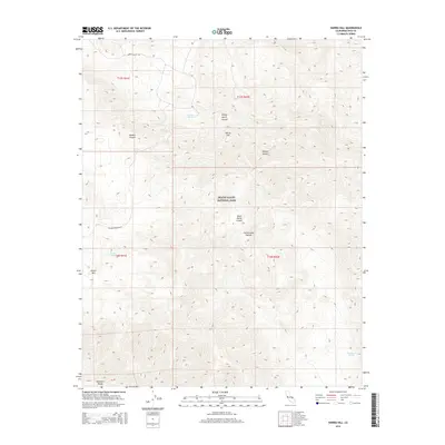
2015 Map of Harris Hill
USGS Topo · Published 2015About this map
Death Valley National Park encompasses this high-altitude desert landscape, dominated by the northern reaches of the Panamint Range. The terrain is defined by a complex network of canyons and peaks, including Hunter Mtn and the namesake Harris Hill. This 2015 survey reveals the critical role of water in this arid environment, marking the locations of Goldbelt Spring, Hunter Spring, and Cottonwood Springs. These water sources often dictated early prospecting and travel routes through the region. Transportation is limited to rugged corridors such as Hunter Mountain Rd and Hidden Valley Rd, which navigate between prominent geological features like Marble Canyon and Shorty Harris Canyon. The map provides a precise look at the transition from high mountains into the Mojave Desert floor, where narrow washes and deep canyons like Dead Horse Canyon drain the surrounding slopes.
Find a feature on this map
18 named features on this map. Tap any name to fly to it.
Don’t see what you’re looking for? This feature index may not catch every label — zoom into the map to look around manually.
Map Details
Editions of this 2015 Harris Hill Map
This is the sole edition of this map. No revisions or reprints were ever made.
Other maps of this area

1908 · Ballarat
USGS Topo · 1:250,000

1913 · Ballarat
USGS Topo · 1:250,000

1948 · Death Valley
USGS Topo · 1:250,000

1950 · Darwin
USGS Topo · 1:62,500

1950 · Ubehebe Peak
USGS Topo · 1:62,500

1951 · Darwin
USGS Topo · 1:62,500

1951 · Ubehebe Peak
USGS Topo · 1:62,500

1951 · Panamint Butte
USGS Topo · 1:62,500

1951 · Marble Canyon
USGS Topo · 1:62,500

1954 · Death Valley
USGS Topo · 1:250,000