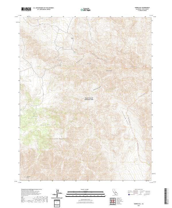
2021 Map of Harris Hill
USGS Topo · Published 2021About this map
Death Valley National Park encompasses this high-altitude desert landscape, dominated by the northern reaches of the Panamint Range and the Cottonwood Mountains. The terrain is defined by extreme relief, from the peak of Hunter Mtn to the depths of Marble Canyon. Significant to local history and exploration, Shorty Harris Canyon and Harris Hill preserve the name of Frank "Shorty" Harris, a legendary figure in the region's mining lore.
Find a feature on this map
19 named features on this map. Tap any name to fly to it.
Don’t see what you’re looking for? This feature index may not catch every label — zoom into the map to look around manually.
Map Details
Editions of this 2021 Harris Hill Map
This is the sole edition of this map. No revisions or reprints were ever made.
Other maps of this area

1908 · Ballarat
USGS Topo · 1:250,000

1913 · Ballarat
USGS Topo · 1:250,000

1948 · Death Valley
USGS Topo · 1:250,000

1950 · Darwin
USGS Topo · 1:62,500

1950 · Ubehebe Peak
USGS Topo · 1:62,500

1951 · Darwin
USGS Topo · 1:62,500

1951 · Ubehebe Peak
USGS Topo · 1:62,500

1951 · Panamint Butte
USGS Topo · 1:62,500

1951 · Marble Canyon
USGS Topo · 1:62,500

1954 · Death Valley
USGS Topo · 1:250,000