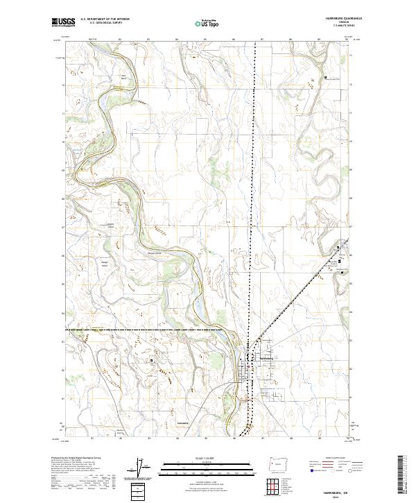
2024 Map of Harrisburg
USGS Topo · Published 2024About this map
The Willamette River meanders through this landscape, defining the borders of Benton, Linn, and Lane counties while shaping numerous landforms like Ingram Island, Morgan Island, and Dodge Island. The city of Harrisburg serves as a central hub in this riverfront region, positioned near a dense cluster of historical burial grounds including the Masonic Cem, Alford Cem, and the Independent Order of Odd Fellows Cem. These sites, along with the Halsey Pioneer Cem to the north, provide significant points of interest for genealogical research in the Willamette Valley. South of the main settlement, the community of Lancaster and the Munson Airport reflect the area's continued local infrastructure. The map also records several oxbow features and river-adjacent water bodies such as Harkens Lake and Alford Pond, illustrating the dynamic nature of the river's path over time.
Find a feature on this map
24 named features on this map. Tap any name to fly to it.
Don’t see what you’re looking for? This feature index may not catch every label — zoom into the map to look around manually.
Map Details
Editions of this 2024 Harrisburg Map
This is the sole edition of this map. No revisions or reprints were ever made.
Other maps of this area

1909 · Harrisburg
USGS Topo · 1:31,680

1909 · Rowland
USGS Topo · 1:31,680

1909 · Elmira
USGS Topo · 1:62,500

1910 · Eugene
USGS Topo · 1:62,500

1911 · Monroe
USGS Topo · 1:31,680

1911 · Inavale
USGS Topo · 1:31,680

1912 · Halsey
USGS Topo · 1:62,500

1922 · Monroe
USGS Topo · 1:62,500

1922 · Elmira
USGS Topo · 1:62,500

1939 · Monroe
USGS Topo · 1:62,500