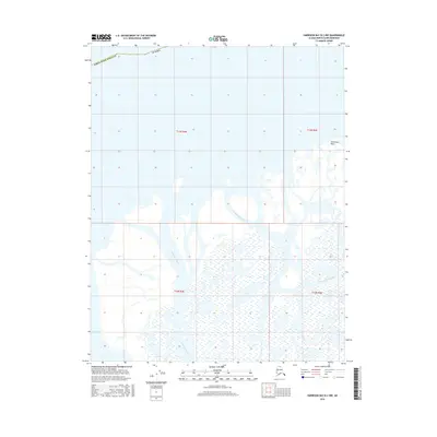
2016 Map of Harrison Bay B-2 NW
USGS Topo · Published 2016About this map
Nechelik Channel and Tamayayak Channel wind through this coastal Arctic landscape within the North Slope Borough of Alaska. This 2016 survey highlights a complex network of wetlands and braided waterways typical of the Colville River delta region. The terrain is characterized by intricate shoreline features such as Tolaktovut Point, which extends into the northern waters of Harrison Bay. This detailed mapping by the U.S. Geological Survey captures the shifting hydrology of the Colville delta, where seasonal water movement through these major channels continually reshapes the low-lying tundra and silt-heavy deposits of the northern coast.
Find a feature on this map
9 named features on this map. Tap any name to fly to it.
Don’t see what you’re looking for? This feature index may not catch every label — zoom into the map to look around manually.
Map Details
Editions of this 2016 Harrison Bay B-2 NW Map
This is the sole edition of this map. No revisions or reprints were ever made.
Other maps of this area

1951 · Harrison Bay
USGS Topo · 1:250,000

1955 · Harrison Bay
USGS Topo · 1:250,000

1955 · Harrison Bay B-3
USGS Topo · 1:63,360
1955 · Harrison Bay C-3
USGS Topo · 1:63,360

1955 · Harrison Bay B-2
USGS Topo · 1:63,360
1962 · Harrison Bay C-3
USGS Topo · 1:50,000
1962 · Harrison Bay B-2
USGS Topo · 1:50,000
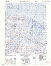
1962 · Harrison Bay B-3
USGS Topo · 1:50,000
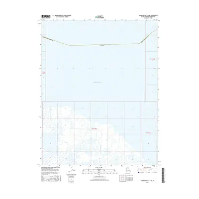
2016 · Harrison Bay B-3 NE
USGS Topo · 1:25,000
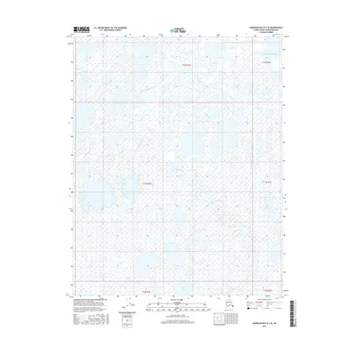
2016 · Harrison Bay B-3 SE
USGS Topo · 1:25,000