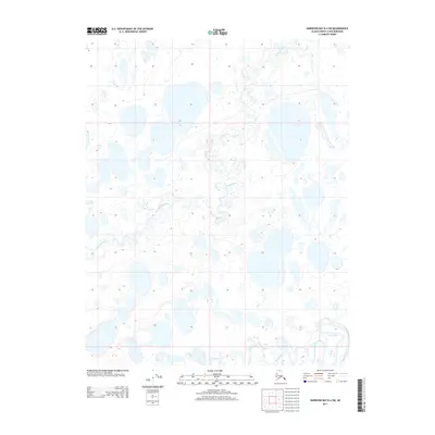
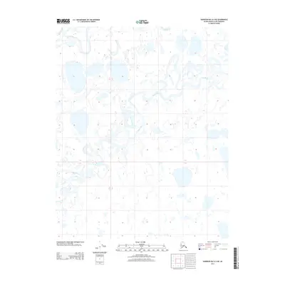
2013 Map of Harrison Bay B-4 SW
USGS Topo · Published 2013About this map
Kalikpik River winds through this expanse of the Alaska North Slope, carving a complex network of oxbows and channels across the Arctic tundra. The landscape is characterized by a high density of thaw lakes and ponds, typical of this permafrost region. In the southern portion of the sheet, the waters of Fish Creek flow through meandering courses, reflecting the low-gradient drainage patterns that define the coastal plain. The map's detail provides a specialized record of the hydrological structure before significant modern shifts, capturing the precise positioning of the riverbanks and the numerous unnamed water bodies that dominate the territory. This documentation is essential for understanding the seasonal changes and environmental character of this remote borough at the time of the 2013 survey.
Find a feature on this map
5 named features on this map. Tap any name to fly to it.
Don’t see what you’re looking for? This feature index may not catch every label — zoom into the map to look around manually.
Map Details
Editions of this 2013 Harrison Bay B-4 SW Map
This is the sole edition of this map. No revisions or reprints were ever made.
Other maps of this area

1951 · Harrison Bay
USGS Topo · 1:250,000

1955 · Harrison Bay
USGS Topo · 1:250,000

1955 · Harrison Bay A-4
USGS Topo · 1:63,360

1955 · Harrison Bay B-5
USGS Topo · 1:63,360

1955 · Harrison Bay A-5
USGS Topo · 1:63,360

1955 · Harrison Bay B-4
USGS Topo · 1:63,360
2013 · Harrison Bay A-4 NW
USGS Topo · 1:25,000
2013 · Harrison Bay B-5 SE
USGS Topo · 1:25,000
2013 · Harrison Bay B-5 NE
USGS Topo · 1:25,000
2013 · Harrison Bay A-4 NE
USGS Topo · 1:25,000