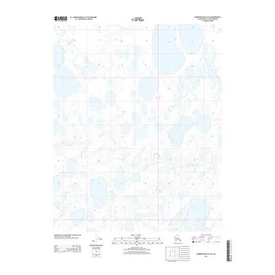
2013 Map of Harrison Bay B-5 SE
USGS Topo · Published 2013About this map
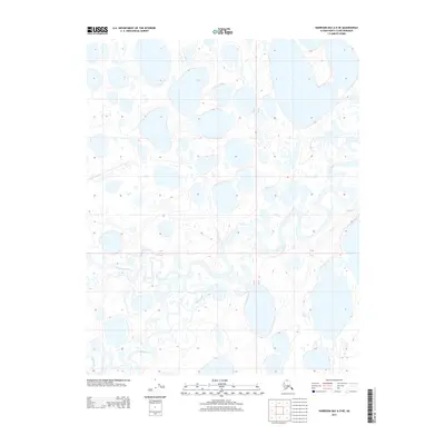
Kalikpik River meanders across this low-lying Arctic coastal plain in the North Slope Borough, where the landscape is defined by a dense network of thermokarst lakes and intricate waterways. This 2013 survey provides a clear view of the complex hydrography typical of the region, showing how the river course interacts with countless unnamed ponds and wetlands. The absence of roads or permanent structures reflects the immense isolation of this northern environment, situated within the Public Land Survey System designations of Townships 11 and 12 North and Ranges 2 and 3 West. Geologists and researchers can study the subtle contour changes and drainage patterns that characterize this permafrost-underlain terrain.
Find a feature on this map
4 named features on this map. Tap any name to fly to it.
Don’t see what you’re looking for? This feature index may not catch every label — zoom into the map to look around manually.
Map Details
Editions of this 2013 Harrison Bay B-5 SE Map
This is the sole edition of this map. No revisions or reprints were ever made.
Other maps of this area

1951 · Harrison Bay
USGS Topo · 1:250,000

1955 · Harrison Bay
USGS Topo · 1:250,000

1955 · Harrison Bay A-4
USGS Topo · 1:63,360

1955 · Harrison Bay B-5
USGS Topo · 1:63,360

1955 · Harrison Bay A-5
USGS Topo · 1:63,360

1955 · Harrison Bay B-4
USGS Topo · 1:63,360
2013 · Harrison Bay A-4 NW
USGS Topo · 1:25,000
2013 · Harrison Bay B-5 SW
USGS Topo · 1:25,000
2013 · Harrison Bay B-5 NE
USGS Topo · 1:25,000
2013 · Harrison Bay A-5 NE
USGS Topo · 1:25,000