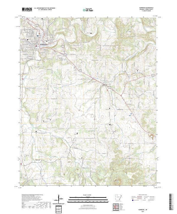
2024 Map of Harrison
USGS Topo · Published 2024About this map
The Boone County Courthouse serves as the focal point for Harrison, where a dense grid of streets like W Central Ave and E Prospect Ave transitions into the surrounding Arkansas countryside. The landscape is defined by the winding path of Crooked Creek and its various tributaries, including East Fork Crooked Creek and Brush Creek. This modern survey documents the contemporary extent of the city as it pushes toward Bellefonte and south to Elmwood.
Find a feature on this map
93 named features on this map. Tap any name to fly to it.
Don’t see what you’re looking for? This feature index may not catch every label — zoom into the map to look around manually.
Map Details
Editions of this 2024 Harrison Map
This is the sole edition of this map. No revisions or reprints were ever made.
Historical Maps of Elmwood Through Time
11 maps found

1904 Harrison
Boone County, AR
1905 Harrison
Boone County, AR

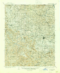
1945 Harrison
Boone County, AR

1949 Harrison
Boone County, AR

1954 Harrison
Boone County, AR

1958 Harrison
Boone County, AR

1964 Harrison
Boone County, AR
1967 Harrison
Boone County, AR

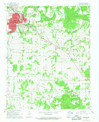
1985 Harrison
Boone County, AR

1985 Harrison
Boone County, AR
2024 Harrison
Boone County, AR