
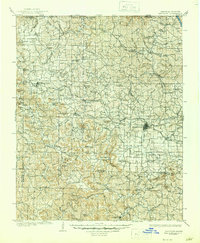
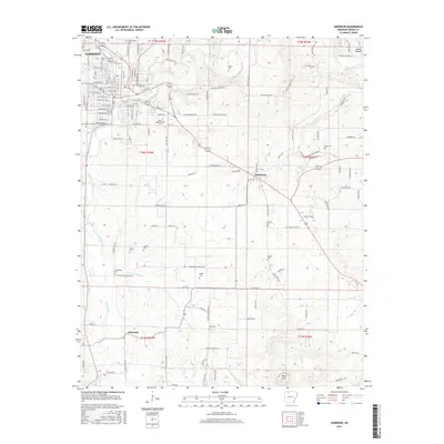
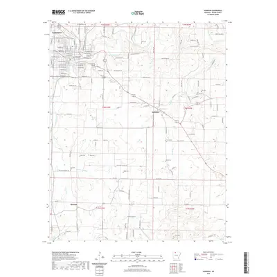
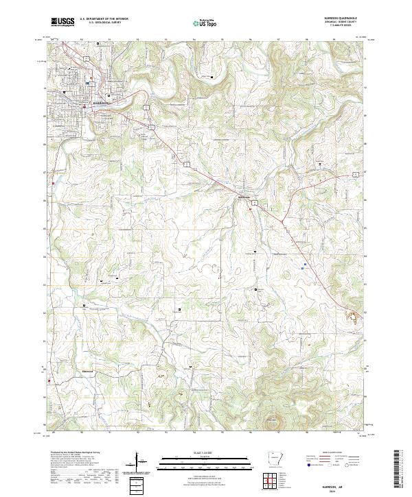
1985 Map of Harrison
USGS Topo · Published 1985About this map
The Ozark Mountains and Boston Mountains dominate this mid-1980s look at the Arkansas-Missouri borderlands. This landscape is defined by the massive reservoirs created along the White River and its tributaries, including Table Rock Lake, Bull Shoals Lake, Norfork Lake, and Beaver Lake. These waters transformed the region into a center for recreation, yet the map maintains the intricate details of the older settlement patterns that preceded the dams. The Buffalo National River snakes through the southern portion of the sheet, preserved in its free-flowing state through the Ozark National Forest.
Find a feature on this map
222 named features on this map. Tap any name to fly to it.
Don’t see what you’re looking for? This feature index may not catch every label — zoom into the map to look around manually.
Map Details
Editions of this 1985 Harrison Map
This is the sole edition of this map. No revisions or reprints were ever made.
Historical Maps of Ozark Through Time
15 maps found

1904 Harrison
Boone County, AR
1905 Harrison
Boone County, AR

1945 Harrison
Boone County, AR

1949 Harrison
Boone County, AR

1954 Harrison
Boone County, AR

1958 Harrison
Boone County, AR

1964 Harrison
Boone County, AR
1967 Harrison
Boone County, AR
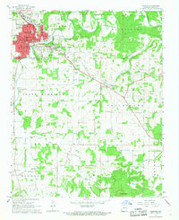
1985 Harrison
Boone County, AR

1985 Harrison
Boone County, AR
2011 Harrison
Boone County, AR
2014 Harrison
Boone County, AR
2017 Harrison
Boone County, AR
2020 Harrison
Boone County, AR
2024 Harrison
Boone County, AR