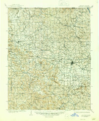
1905 Map of Harrison
USGS Topo · Published 1945About this map
Harrison stands as a central hub in this Ozark mountain landscape, documented shortly after the turn of the century by Jno. H. Renshawe and H. M. Wilson. The regional geography is defined by a network of winding waterways and ridges, including the White River in the northeast and the steep ascent of Crystal Mtn to the west. Industrial and agricultural activity is evident in the presence of Blantons Mill and the corridor of the St Louis Iron Mountain and Southern railroad, which traces a path through the hills toward Bergman.
Find a feature on this map
130 named features on this map. Tap any name to fly to it.
Don’t see what you’re looking for? This feature index may not catch every label — zoom into the map to look around manually.
Map Details
Editions of this 1905 Harrison Map
3 editions found
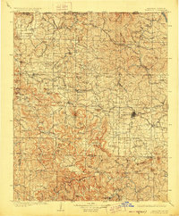
Other maps of this area

1892 · Marshall
USGS Topo · 1:125,000

1893 · Yellville
USGS Topo · 1:125,000

1894 · Marshall
USGS Topo · 1:125,000

1900 · Eureka Springs
USGS Topo · 1:125,000

1901 · Marshall
USGS Topo · 1:125,000

1901 · Eureka Springs
USGS Topo · 1:125,000

1903 · Yellville
USGS Topo · 1:125,000

1904 · Harrison
USGS Topo · 1:125,000

1905 · Harrison
USGS Topo · 1:125,000

1905 · Yellville
USGS Topo · 1:125,000