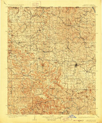
1905 Map of Harrison
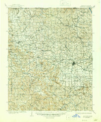
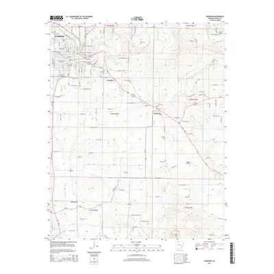
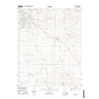
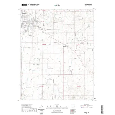
USGS Topo · Published 1928About this map
Harrison serves as the central hub of this Ozark plateau landscape, where the town's development is closely tied to the St. Louis and San Francisco RR cutting through the northeast. This early 20th-century survey documents a transition from pioneer-era commerce to a rail-connected economy. Deeply incised hollows like Clinton Hollow and Blevens Hollow define the drainage patterns leading toward the White River and the Buffalo River. Local industry and navigation are anchored by landmarks such as Blantons Mill and the remote settlement of Jasper in the south. The terrain is marked by prominent peaks like Pilot Knob and Gaither Mtn, with the winding path of Osage Creek providing vital water access. Researchers can trace the legacy of early settlements including Carrollton, Green Forest, and the scenic Marble Falls, noting how the network of wagon roads and early rails navigated the gaps and ridges of the Iron Mountain region.
Find a feature on this map
108 named features on this map. Tap any name to fly to it.
Don’t see what you’re looking for? This feature index may not catch every label — zoom into the map to look around manually.
Map Details
Editions of this 1905 Harrison Map
3 editions found

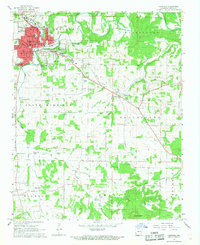
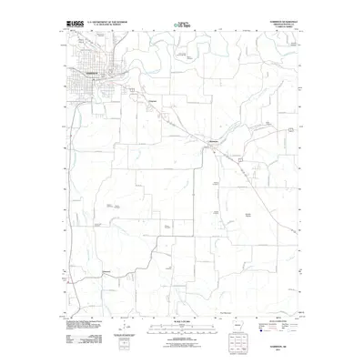
Historical Maps of Harrison Through Time
15 maps found

1904 Harrison
Boone County, AR
1905 Harrison
Boone County, AR

1945 Harrison
Boone County, AR

1949 Harrison
Boone County, AR

1954 Harrison
Boone County, AR

1958 Harrison
Boone County, AR

1964 Harrison
Boone County, AR
1967 Harrison
Boone County, AR

1985 Harrison
Boone County, AR

1985 Harrison
Boone County, AR
2011 Harrison
Boone County, AR
2014 Harrison
Boone County, AR
2017 Harrison
Boone County, AR
2020 Harrison
Boone County, AR
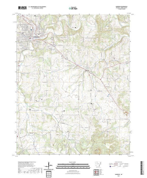
2024 Harrison
Boone County, AR