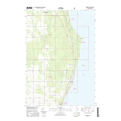
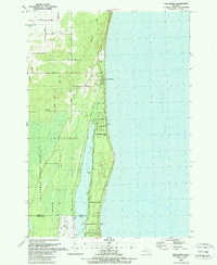
2017 Map of Harrisville
USGS Topo · Published 2017About this map
Harrisville serves as the primary coastal hub along the Lake Huron shoreline, where a grid of streets like W Church St and E Main St meets the water's edge. The landscape is defined by the transition from the sandy coast at Sturgeon Point to the elevated terrain of Rolling Hill further inland. The town's infrastructure includes the Harrisville Airport and community landmarks such as Westlawn Cem and Saint Annes Cem.
Find a feature on this map
64 named features on this map. Tap any name to fly to it.
Don’t see what you’re looking for? This feature index may not catch every label — zoom into the map to look around manually.
Map Details
Editions of this 2017 Harrisville Map
This is the sole edition of this map. No revisions or reprints were ever made.
Other maps of this area

1954 · Tawas City
USGS Topo · 1:250,000

1958 · Tawas City
USGS Topo · 1:250,000

1959 · Harrisville
USGS Topo · 1:62,500

1971 · Spruce
USGS Topo · 1:24,000
1971 · Black River
USGS Topo · 1:24,000

1983 · Hubbard Lake
USGS Topo · 1:100,000
1989 · Harrisville
USGS Topo · 1:24,000

1989 · Mikado
USGS Topo · 1:24,000
1989 · Lincoln
USGS Topo · 1:24,000
1989 · Greenbush
USGS Topo · 1:24,000