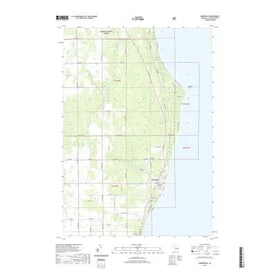
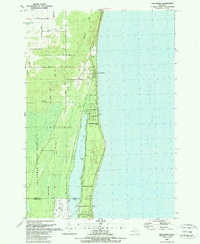
2019 Map of Harrisville
USGS Topo · Published 2019About this map
Harrisville serves as the focal point of this coastal survey, where the Alcona County Courthouse stands near the shores of Lake Huron. The landscape transitions from the developed street grid of the county seat to the expansive timberlands of the Huron National Forest in the north. This 2019 data illustrates a region defined by its maritime geography and public lands, featuring the prominent Sturgeon Point and several significant tributaries including the Black River and Mill Creek. Genealogical value is found in the clearly marked Saint Annes, Westlawn, and Springport cemeteries. Transportation infrastructure is represented by the Harrisville Airport and a network of rural routes such as McGregor Road and Poor Farm Road, which weave through the agricultural and forested tracts that characterize Alcona County.
Find a feature on this map
62 named features on this map. Tap any name to fly to it.
Don’t see what you’re looking for? This feature index may not catch every label — zoom into the map to look around manually.
Map Details
Editions of this 2019 Harrisville Map
This is the sole edition of this map. No revisions or reprints were ever made.
Other maps of this area

1954 · Tawas City
USGS Topo · 1:250,000

1958 · Tawas City
USGS Topo · 1:250,000

1959 · Harrisville
USGS Topo · 1:62,500

1971 · Spruce
USGS Topo · 1:24,000
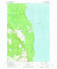
1971 · Black River
USGS Topo · 1:24,000

1983 · Hubbard Lake
USGS Topo · 1:100,000
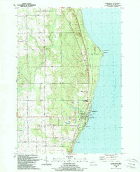
1989 · Harrisville
USGS Topo · 1:24,000

1989 · Mikado
USGS Topo · 1:24,000
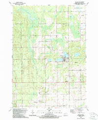
1989 · Lincoln
USGS Topo · 1:24,000
1989 · Greenbush
USGS Topo · 1:24,000