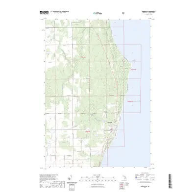
2023 Map of Harrisville
USGS Topo · Published 2023About this map
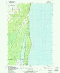
Harrisville serves as the focal point of this coastal survey, where the Alcona County Courthouse stands as a landmark of civic life along the western shores of Lake Huron. The landscape transitions from the developed grid of the town to the protected woodlands of the Huron National Forest in the north. Notable coastal features include the prominent Sturgeon Point, which reaches into the lake, and several watercourses such as Mill Creek and Black River that drain the interior. Genealogists will find several important sites clustered near the settlement, including Westlawn Cem, Saint Annes Cem, and Springport Cem. The map illustrates a network of rural roads like Poor Farm Rd and Mc Gregor Rd that connect the small-scale agricultural and forested tracts typical of this Michigan lakeshore region.
Find a feature on this map
75 named features on this map. Tap any name to fly to it.
Don’t see what you’re looking for? This feature index may not catch every label — zoom into the map to look around manually.
Map Details
Editions of this 2023 Harrisville Map
This is the sole edition of this map. No revisions or reprints were ever made.
Other maps of this area

1954 · Tawas City
USGS Topo · 1:250,000

1958 · Tawas City
USGS Topo · 1:250,000

1959 · Harrisville
USGS Topo · 1:62,500

1971 · Spruce
USGS Topo · 1:24,000
1971 · Black River
USGS Topo · 1:24,000

1983 · Hubbard Lake
USGS Topo · 1:100,000
1989 · Harrisville
USGS Topo · 1:24,000

1989 · Mikado
USGS Topo · 1:24,000
1989 · Lincoln
USGS Topo · 1:24,000
1989 · Greenbush
USGS Topo · 1:24,000