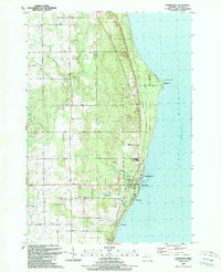
1989 Map of Harrisville
USGS Topo · Published 1989About this map
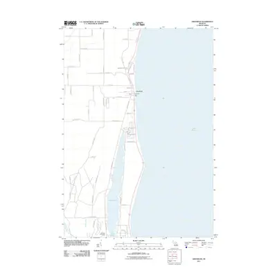
The Lake Huron shoreline in Alcona County defines this coastal landscape, where the city of Harrisville serves as a hub for both maritime activity and regional transport. The Detroit and Mackinac railroad corridor runs parallel to the coast, connecting the harbor area to the smaller settlements of Springport and Westtown. These communities are anchored by essential civic landmarks including the Grange Hall, Twp Hall, and a cluster of local churches such as St Andrews Ch and St Annes Ch.
Find a feature on this map
49 named features on this map. Tap any name to fly to it.
Don’t see what you’re looking for? This feature index may not catch every label — zoom into the map to look around manually.
Map Details
Editions of this 1989 Harrisville Map
This is the sole edition of this map. No revisions or reprints were ever made.
Other maps of this area

1954 · Tawas City
USGS Topo · 1:250,000

1958 · Tawas City
USGS Topo · 1:250,000
1959 · Harrisville
USGS Topo · 1:62,500
1971 · Spruce
USGS Topo · 1:24,000
1971 · Black River
USGS Topo · 1:24,000
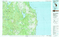
1983 · Hubbard Lake
USGS Topo · 1:100,000
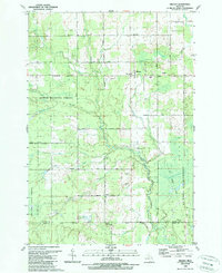
1989 · Mikado
USGS Topo · 1:24,000
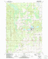
1989 · Lincoln
USGS Topo · 1:24,000
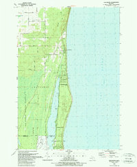
1989 · Greenbush
USGS Topo · 1:24,000
2011 · Greenbush
USGS Topo · 1:24,000