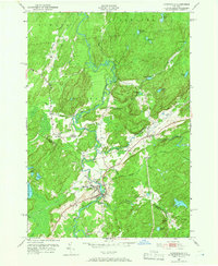
1951 Map of Harrisville
USGS Topo · Published 1966About this map
Harrisville sits at the heart of this North Country landscape, where the West Branch Oswegatchie River and its South Branch meet. The settlement patterns of the mid-20th century are clearly defined by the path of the New York Central railroad, which skirts the river's edge through the village and north toward Pitcairn. This area, straddling the St. Lawrence and Lewis County line, is dominated by a complex network of water bodies and high ground, including the eastern shores of Lake Bonaparte and the prominent Baldface Hill. Small rural clusters such as Geers Corners and Backus appear alongside the Garrison Cem, providing essential landmarks for genealogists and local historians. The map records the timber and water-rich geography that sustained these communities, evidenced by the numerous named ponds and creeks like Toothaker Creek and Jenny Creek.
Find a feature on this map
39 named features on this map. Tap any name to fly to it.
Don’t see what you’re looking for? This feature index may not catch every label — zoom into the map to look around manually.
Map Details
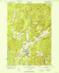
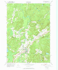
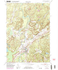
Editions of this 1951 Harrisville Map
4 editions found
Other maps of this area

1913 · Lake Bonaparte
USGS Topo · 1:62,500

1915 · Gouverneur
USGS Topo · 1:62,500

1915 · Russell
USGS Topo · 1:62,500

1916 · Lake Bonaparte
USGS Topo · 1:62,500

1916 · Oswegatchie
USGS Topo · 1:62,500

1918 · Russell
USGS Topo · 1:62,500

1918 · Oswegatchie
USGS Topo · 1:62,500

1937 · Gouverneur
USGS Topo · 1:62,500

1948 · Ogdensburg
USGS Topo · 1:250,000

1951 · Ogdensburg
USGS Topo · 1:250,000