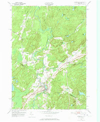
1951 Map of Harrisville
USGS Topo · Published 1973About this map
Harrisville serves as the focal point of this Adirondack foothills landscape, where the West Branch Oswegatchie River and the South Branch Oswegatchie River converge. This 1951 survey, based on aerial photographs from 1950, documents the area's mid-century industrial and transport network, notably the New York Central rail line winding through the river valley. The map provides a detailed view of the border between St. Lawrence and Lewis Counties, showing the rural crossroads of Geers Corners and the settlement of Pitcairn. Prominent elevations like Baldface Hill and Cooper Hill overlook a dense network of water bodies, including Lake Bonaparte on the western edge and numerous ponds such as Shiner Pond and Bullhead Pond, which suggest a landscape shaped by timber and water power.
Find a feature on this map
44 named features on this map. Tap any name to fly to it.
Don’t see what you’re looking for? This feature index may not catch every label — zoom into the map to look around manually.
Map Details
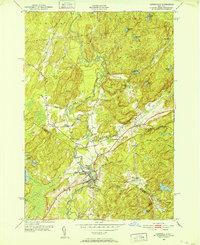
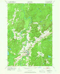
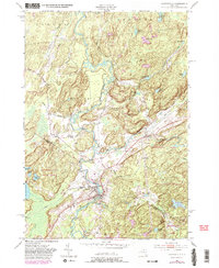
Editions of this 1951 Harrisville Map
4 editions found
Other maps of this area

1913 · Lake Bonaparte
USGS Topo · 1:62,500

1915 · Gouverneur
USGS Topo · 1:62,500

1915 · Russell
USGS Topo · 1:62,500

1916 · Lake Bonaparte
USGS Topo · 1:62,500

1916 · Oswegatchie
USGS Topo · 1:62,500

1918 · Russell
USGS Topo · 1:62,500

1918 · Oswegatchie
USGS Topo · 1:62,500

1937 · Gouverneur
USGS Topo · 1:62,500

1948 · Ogdensburg
USGS Topo · 1:250,000

1951 · Ogdensburg
USGS Topo · 1:250,000