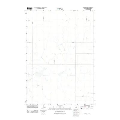
2012 Map of Harrold NE
USGS Topo · Published 2012About this map
Hyde County's rural prairie landscape is defined by an exacting section-line road grid in this 2012 study of the region north of Harrold. The terrain is dominated by intermittent wetlands and small basins typical of the Missouri Coteau, where drainage patterns are often subtle and localized rather than following major river systems. Navigational arteries like 327th Ave and 333rd Ave run north-south, intersected by latitudinal routes such as 183rd St and 190th St. This area reflects the late-modern agricultural character of the Great Plains, where large-scale land management is facilitated by these persistent gravel and dirt thoroughfares. The map detail highlights how the built environment remains sparse, focused on the intersection of section lines and the occasional farmstead or storage structure, preserving the open character of the South Dakota plains.
Find a feature on this map
13 named features on this map. Tap any name to fly to it.
Don’t see what you’re looking for? This feature index may not catch every label — zoom into the map to look around manually.
Map Details
Editions of this 2012 Harrold NE Map
This is the sole edition of this map. No revisions or reprints were ever made.
Other maps of this area

1949 · Mitchell Lake
USGS Topo · 1:24,000

1950 · Mitchell Lake
USGS Topo · 1:24,000

1950 · Highmore
USGS Topo · 1:24,000

1951 · Rice Lake
USGS Topo · 1:24,000

1953 · Huron
USGS Topo · 1:250,000

1954 · Huron
USGS Topo · 1:250,000

1968 · Harrold NW
USGS Topo · 1:24,000

1968 · Harrold
USGS Topo · 1:24,000

1968 · Holabird
USGS Topo · 1:24,000

1968 · Harrold NE
USGS Topo · 1:24,000