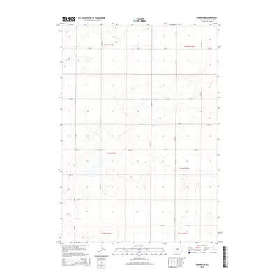
2015 Map of Harrold NE
USGS Topo · Published 2015About this map
Hyde County agriculture and open terrain characterize this 2015 survey of the South Dakota plains. The landscape is organized by a precise grid of the Public Land Survey System, defined here by townships such as t115n r73w and t114n r72w. This geometric overlay is reflected on the ground by a network of section-line roads, including Cr-649 and 333rd Ave, which facilitate movement between the vast fields and pastures. Occasional depressions and small water bodies punctuate the plains, though the map contains no named towns or settlements, emphasizing the rural, sparsely populated nature of the region. Local travel is dictated by numbered routes like 183rd St and 190th St, which serve as the primary corridors for the area's modern ranching and farming operations.
Find a feature on this map
18 named features on this map. Tap any name to fly to it.
Don’t see what you’re looking for? This feature index may not catch every label — zoom into the map to look around manually.
Map Details
Editions of this 2015 Harrold NE Map
This is the sole edition of this map. No revisions or reprints were ever made.
Other maps of this area

1949 · Mitchell Lake
USGS Topo · 1:24,000

1950 · Mitchell Lake
USGS Topo · 1:24,000

1950 · Highmore
USGS Topo · 1:24,000

1951 · Rice Lake
USGS Topo · 1:24,000

1953 · Huron
USGS Topo · 1:250,000

1954 · Huron
USGS Topo · 1:250,000

1968 · Harrold NW
USGS Topo · 1:24,000

1968 · Harrold
USGS Topo · 1:24,000

1968 · Holabird
USGS Topo · 1:24,000

1968 · Harrold NE
USGS Topo · 1:24,000