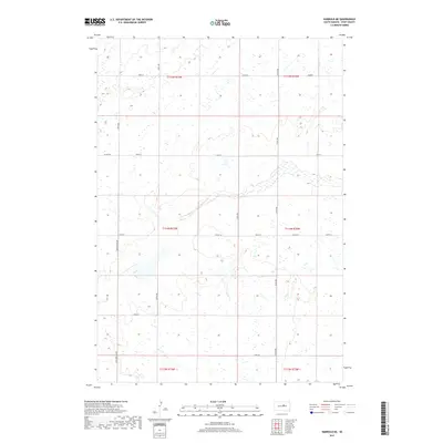
2017 Map of Harrold NE
USGS Topo · Published 2017About this map
The Holabird Grade cuts a distinct path through the central South Dakota landscape of Hyde County, anchoring a geometric network of section-line roads and local avenues. This area is defined by its topographic rhythm of prairie wetlands and natural depressions, where dozens of unnamed ponds and marshes dot the terrain across Townships t114n r73w and t115n r72w. The land use is clearly divided by a grid of thoroughfares including 330th Ave, Co Rd 648, and 187th St, reflecting the persistent influence of the Public Land Survey System on the modern rural layout. While largely open land, the concentration of wetlands suggests a region vital for local hydrography and bird habitat, punctuated by the straight-line markers of human transit such as Co Rd 154.
Find a feature on this map
17 named features on this map. Tap any name to fly to it.
Don’t see what you’re looking for? This feature index may not catch every label — zoom into the map to look around manually.
Map Details
Editions of this 2017 Harrold NE Map
This is the sole edition of this map. No revisions or reprints were ever made.
Other maps of this area

1949 · Mitchell Lake
USGS Topo · 1:24,000

1950 · Mitchell Lake
USGS Topo · 1:24,000

1950 · Highmore
USGS Topo · 1:24,000

1951 · Rice Lake
USGS Topo · 1:24,000

1953 · Huron
USGS Topo · 1:250,000

1954 · Huron
USGS Topo · 1:250,000

1968 · Harrold NW
USGS Topo · 1:24,000

1968 · Harrold
USGS Topo · 1:24,000

1968 · Holabird
USGS Topo · 1:24,000

1968 · Harrold NE
USGS Topo · 1:24,000