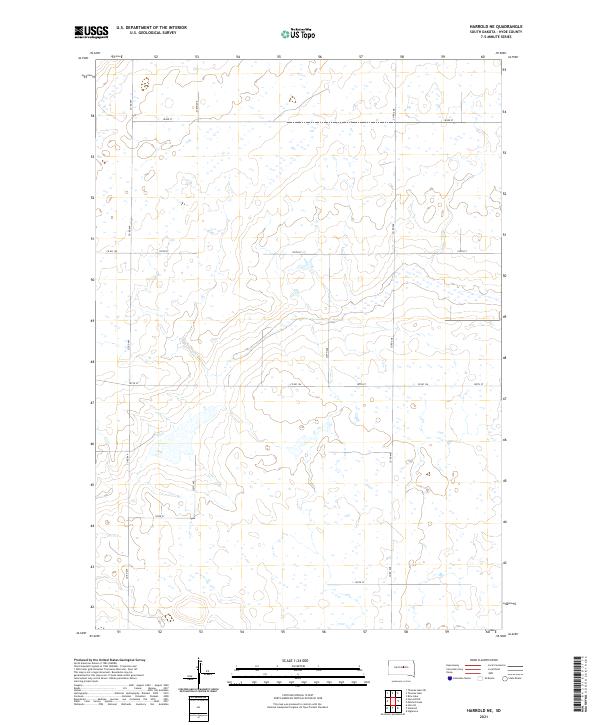
2021 Map of Harrold NE
USGS Topo · Published 2021About this map
Hydrological patterns and section-line roads define this rural landscape in Hyde County, South Dakota. The terrain is marked by a complex network of wetlands and small water bodies that pocket the prairie, particularly across the southern townships. Human development is largely confined to a rigid grid of gravel and dirt routes such as Co Rd 649, 328th Ave, and 187th St, which serve the expansive agricultural parcels in this portion of the Great Plains. The map's layout highlights the transition between t115n r73w and t114n r72w, illustrating how early cadastral surveys continue to dictate the modern rural infrastructure and land use in central South Dakota.
Find a feature on this map
16 named features on this map. Tap any name to fly to it.
Don’t see what you’re looking for? This feature index may not catch every label — zoom into the map to look around manually.
Map Details
Editions of this 2021 Harrold NE Map
This is the sole edition of this map. No revisions or reprints were ever made.
Other maps of this area

1949 · Mitchell Lake
USGS Topo · 1:24,000

1950 · Mitchell Lake
USGS Topo · 1:24,000

1950 · Highmore
USGS Topo · 1:24,000

1951 · Rice Lake
USGS Topo · 1:24,000

1953 · Huron
USGS Topo · 1:250,000

1954 · Huron
USGS Topo · 1:250,000

1968 · Harrold NW
USGS Topo · 1:24,000

1968 · Harrold
USGS Topo · 1:24,000

1968 · Holabird
USGS Topo · 1:24,000

1968 · Harrold NE
USGS Topo · 1:24,000