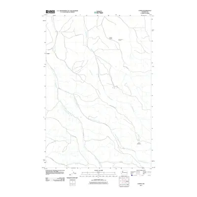
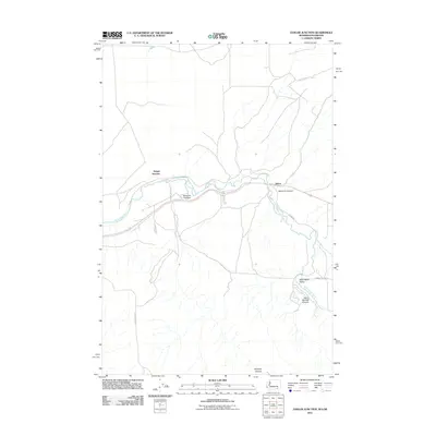
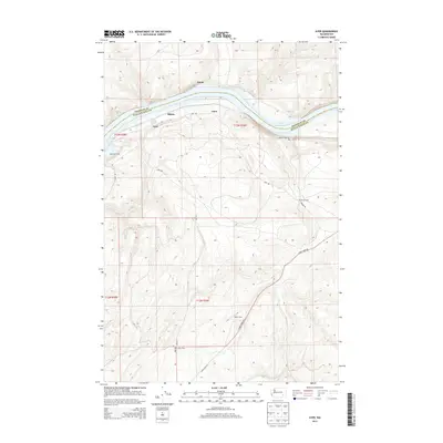
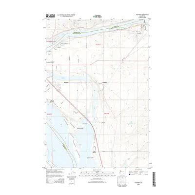
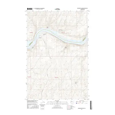
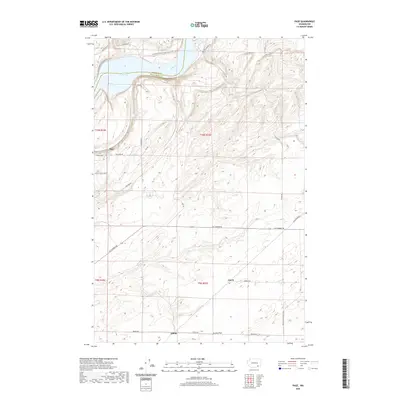
1967 Map of Harsha
USGS Topo · Published 1971About this map
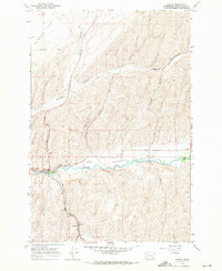
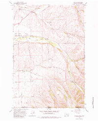
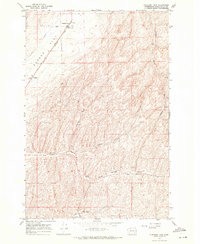
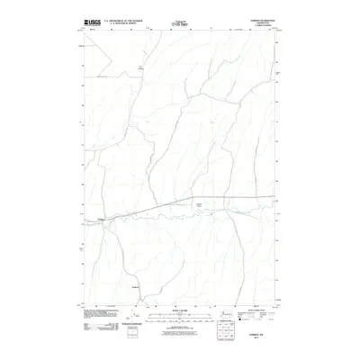
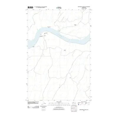
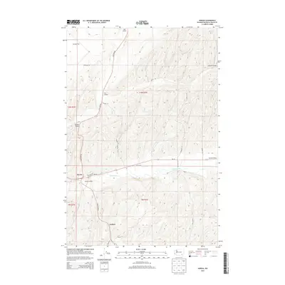
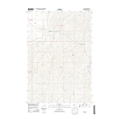
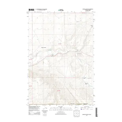
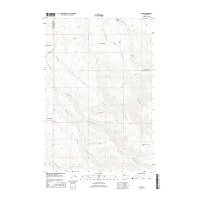
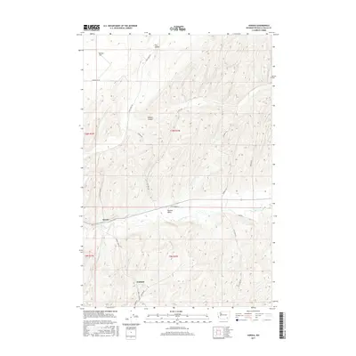
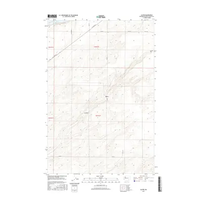
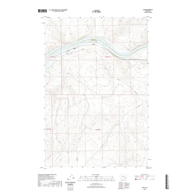
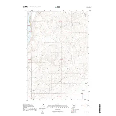
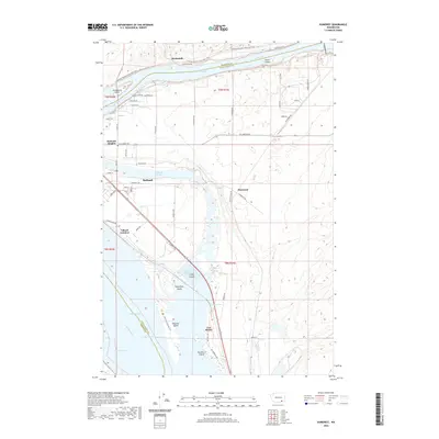
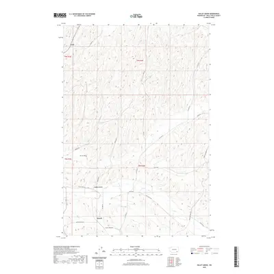
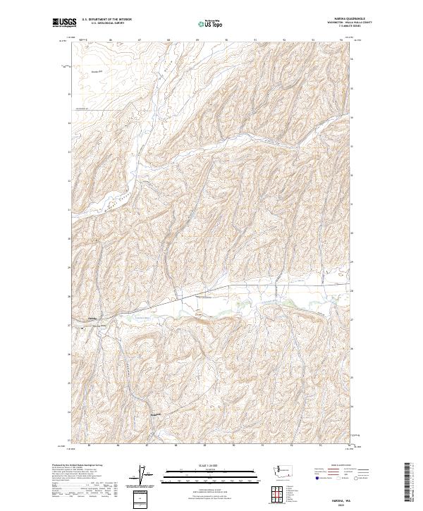
The Touchet River flows through a broad alluvial plain in this late-1960s survey of Walla Walla County, where agriculture and rail transport dominate the landscape. The Touchet Valley serves as the primary corridor for the Burlington Northern railroad, which connects the small settlement of Harsha to the wider region. Evidence of the area's grain-based economy is visible in the numerous storage bins and a prominent grain elevator located near the tracks. To the north, the terrain transitions into the dry, dissected uplands of Eureka Flat and Winnett Canyon. The presence of a landing strip and a network of named rural routes like Pettyjohn Road and Harvey Shaw Road illustrates the logistical infrastructure required to support these expansive farming operations in the years following the 1966 aerial survey.
Find a feature on this map
22 named features on this map. Tap any name to fly to it.
Don’t see what you’re looking for? This feature index may not catch every label — zoom into the map to look around manually.
Map Details
Editions of this 1967 Harsha Map
2 editions found
Historical Maps of Paddock Through Time
126 maps found

1915 Wallulah
Walla Walla County, WA
1964 Humorist
Walla Walla County, WA
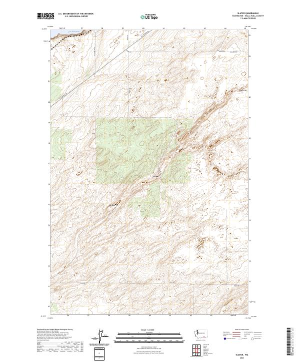
1964 Slater
Walla Walla County, WA
1964 Zangar Junction
Walla Walla County, WA
1966 Buroker
Walla Walla County, WA
1966 Coppei
Walla Walla County, WA

1966 Elwood
Walla Walla County, WA

1966 Eureka
Walla Walla County, WA

1966 Hadley
Walla Walla County, WA

1966 Kooskooskie
Walla Walla County, WA

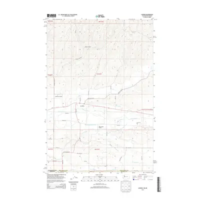
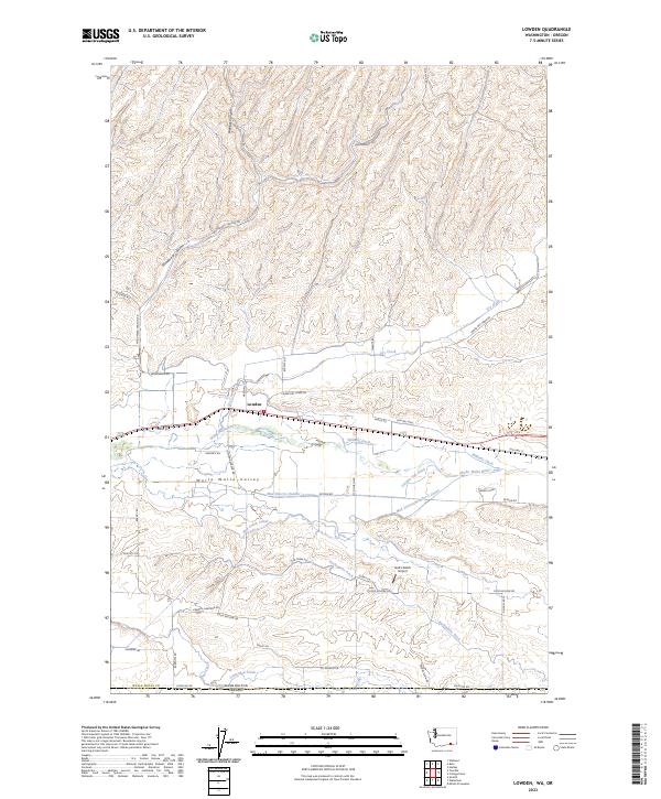
1966 Lowden
Walla Walla County, WA

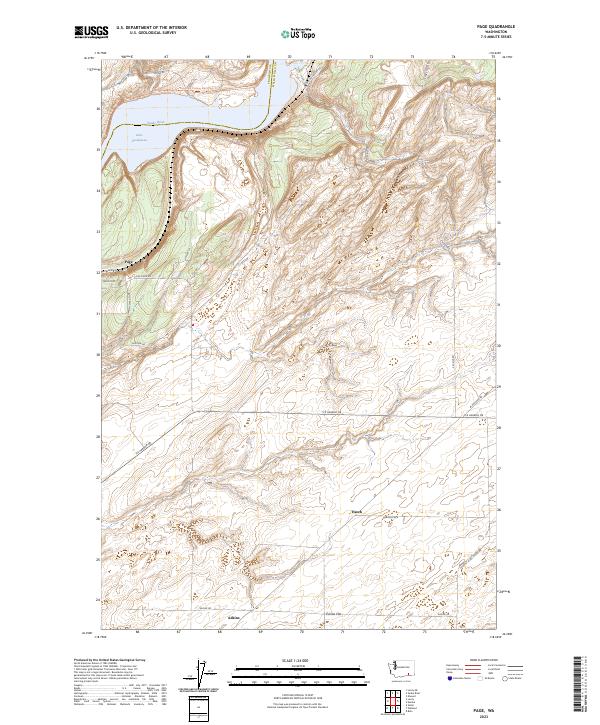
1966 Page
Walla Walla County, WA

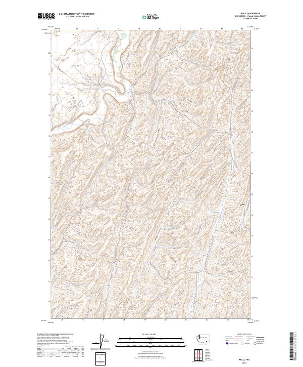
1966 Rulo
Walla Walla County, WA

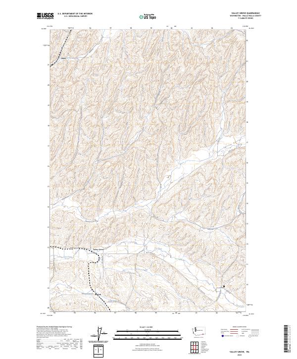
1966 Valley Grove
Walla Walla County, WA

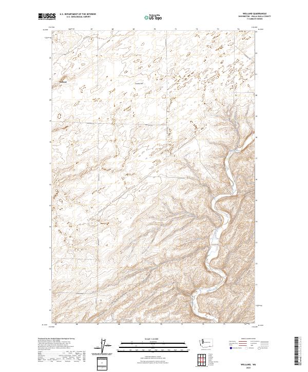
1966 Welland
Walla Walla County, WA
1967 Clyde
Walla Walla County, WA
1967 Harsha
Walla Walla County, WA
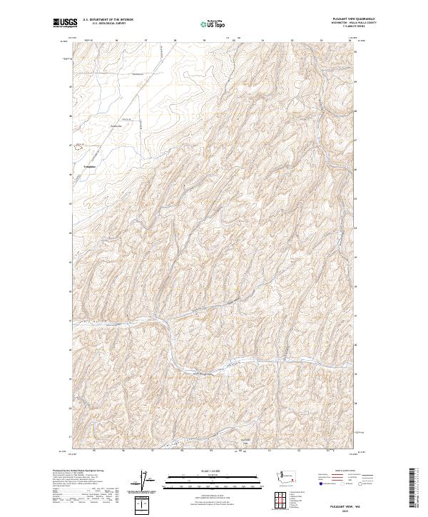
1967 Pleasant View
Walla Walla County, WA

1981 Ayer
Walla Walla County, WA

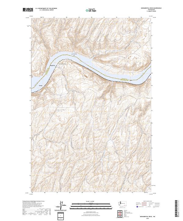
1981 Monumental Rock
Walla Walla County, WA

1991 Elwood
Walla Walla County, WA

1991 Eureka
Walla Walla County, WA

1991 Hadley
Walla Walla County, WA

1991 Lowden
Walla Walla County, WA

1991 Page
Walla Walla County, WA

1991 Rulo
Walla Walla County, WA

1991 Slater
Walla Walla County, WA

1991 Zangar Junction
Walla Walla County, WA

1992 Humorist
Walla Walla County, WA

1992 Welland
Walla Walla County, WA

1995 Kooskooskie
Walla Walla County, WA
2011 Ayer
Walla Walla County, WA
2011 Buroker
Walla Walla County, WA
2011 Clyde
Walla Walla County, WA
2011 Coppei
Walla Walla County, WA
2011 Elwood
Walla Walla County, WA
2011 Eureka
Walla Walla County, WA
2011 Hadley
Walla Walla County, WA
2011 Harsha
Walla Walla County, WA
2011 Humorist
Walla Walla County, WA
2011 Kooskooskie
Walla Walla County, WA
2011 Lowden
Walla Walla County, WA
2011 Monumental Rock
Walla Walla County, WA
2011 Page
Walla Walla County, WA
2011 Pleasant View
Walla Walla County, WA
2011 Rulo
Walla Walla County, WA
2011 Slater
Walla Walla County, WA
2011 Valley Grove
Walla Walla County, WA
2011 Welland
Walla Walla County, WA
2011 Zangar Junction
Walla Walla County, WA
2013 Ayer
Walla Walla County, WA
2013 Clyde
Walla Walla County, WA
2013 Coppei
Walla Walla County, WA
2013 Elwood
Walla Walla County, WA

2013 Eureka
Walla Walla County, WA

2013 Hadley
Walla Walla County, WA
2013 Harsha
Walla Walla County, WA
2013 Lowden
Walla Walla County, WA
2013 Monumental Rock
Walla Walla County, WA
2013 Page
Walla Walla County, WA
2013 Rulo
Walla Walla County, WA
2013 Slater
Walla Walla County, WA
2013 Welland
Walla Walla County, WA
2014 Buroker
Walla Walla County, WA
2014 Humorist
Walla Walla County, WA
2014 Kooskooskie
Walla Walla County, WA
2014 Pleasant View
Walla Walla County, WA
2014 Valley Grove
Walla Walla County, WA
2014 Zangar Junction
Walla Walla County, WA
2017 Ayer
Walla Walla County, WA
2017 Buroker
Walla Walla County, WA
2017 Clyde
Walla Walla County, WA
2017 Coppei
Walla Walla County, WA
2017 Elwood
Walla Walla County, WA
2017 Eureka
Walla Walla County, WA
2017 Hadley
Walla Walla County, WA
2017 Harsha
Walla Walla County, WA
2017 Humorist
Walla Walla County, WA
2017 Kooskooskie
Walla Walla County, WA
2017 Lowden
Walla Walla County, WA
2017 Monumental Rock
Walla Walla County, WA
2017 Page
Walla Walla County, WA
2017 Pleasant View
Walla Walla County, WA
2017 Rulo
Walla Walla County, WA
2017 Slater
Walla Walla County, WA
2017 Valley Grove
Walla Walla County, WA
2017 Welland
Walla Walla County, WA
2017 Zangar Junction
Walla Walla County, WA
2020 Ayer
Walla Walla County, WA
2020 Buroker
Walla Walla County, WA
2020 Clyde
Walla Walla County, WA
2020 Coppei
Walla Walla County, WA
2020 Elwood
Walla Walla County, WA
2020 Eureka
Walla Walla County, WA
2020 Hadley
Walla Walla County, WA
2020 Harsha
Walla Walla County, WA
2020 Humorist
Walla Walla County, WA
2020 Kooskooskie
Walla Walla County, WA
2020 Lowden
Walla Walla County, WA
2020 Monumental Rock
Walla Walla County, WA
2020 Page
Walla Walla County, WA
2020 Pleasant View
Walla Walla County, WA
2020 Rulo
Walla Walla County, WA
2020 Slater
Walla Walla County, WA
2020 Valley Grove
Walla Walla County, WA
2020 Welland
Walla Walla County, WA
2020 Zangar Junction
Walla Walla County, WA
2023 Ayer
Walla Walla County, WA
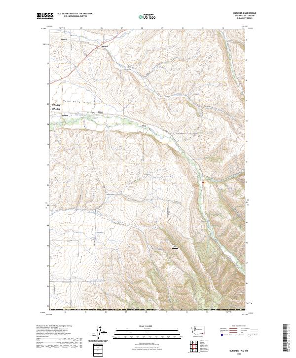
2023 Buroker
Walla Walla County, WA
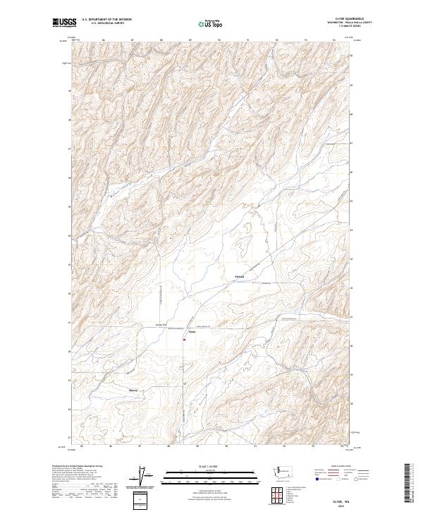
2023 Clyde
Walla Walla County, WA
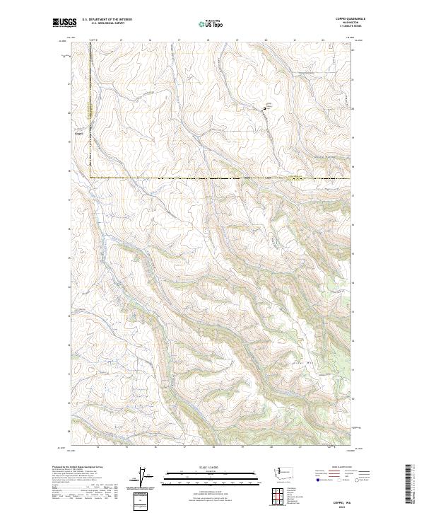
2023 Coppei
Walla Walla County, WA
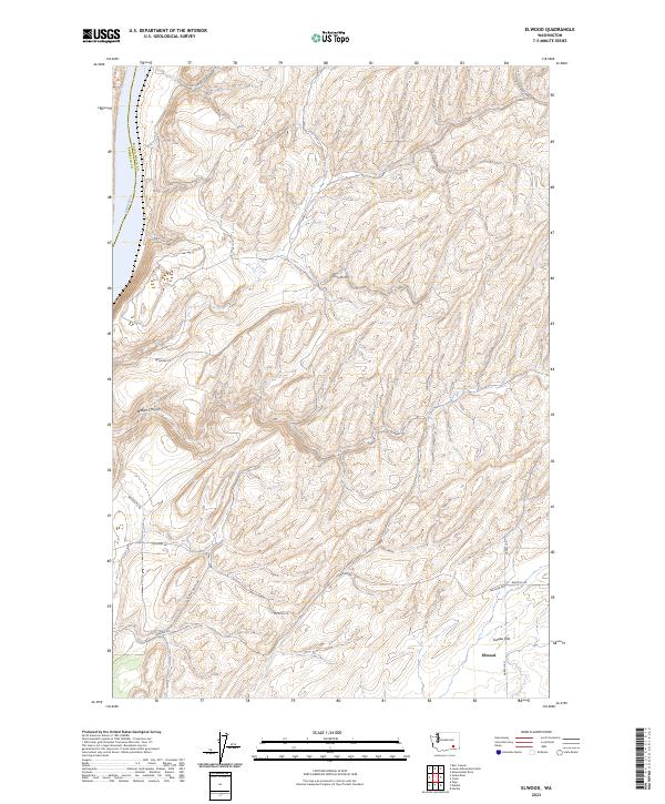
2023 Elwood
Walla Walla County, WA
2023 Eureka
Walla Walla County, WA

2023 Hadley
Walla Walla County, WA
2023 Harsha
Walla Walla County, WA
2023 Humorist
Walla Walla County, WA
2023 Kooskooskie
Walla Walla County, WA
2023 Lowden
Walla Walla County, WA
2023 Monumental Rock
Walla Walla County, WA
2023 Page
Walla Walla County, WA
2023 Pleasant View
Walla Walla County, WA
2023 Rulo
Walla Walla County, WA
2023 Slater
Walla Walla County, WA
2023 Valley Grove
Walla Walla County, WA
2023 Welland
Walla Walla County, WA

2023 Zangar Junction
Walla Walla County, WA