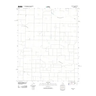
2010 Map of Hart SW
USGS Topo · Published 2010About this map
Thompson Gin anchors the southwest corner of this Lamb County landscape, representing the agricultural processing centers that define the South Plains. The terrain is characterized by a sparse, grid-like network of rural roads that intersect the natural drainage patterns of Running Water Draw and the North Fork Running Water Draw. These intermittent watercourses meander across the High Plains, providing the only significant breaks in a topography dominated by large-scale farming and ranching operations. In the northeast, Lemons Dam stands as a localized piece of water management infrastructure, reflecting the critical importance of moisture conservation in this arid region. The map preserves the exact alignment of secondary routes such as Fm 1842 and Fm 168 before recent rural developments, offering a clear view of the area's mid-century transit and irrigation framework.
Find a feature on this map
30 named features on this map. Tap any name to fly to it.
Don’t see what you’re looking for? This feature index may not catch every label — zoom into the map to look around manually.
Map Details
Editions of this 2010 Hart SW Map
This is the sole edition of this map. No revisions or reprints were ever made.
Other maps of this area

1954 · Clovis
USGS Topo · 1:250,000

1958 · Clovis
USGS Topo · 1:250,000

1962 · Dodd NE
USGS Topo · 1:24,000

1962 · Springlake
USGS Topo · 1:24,000

1963 · Hart NW
USGS Topo · 1:24,000

1963 · Olton
USGS Topo · 1:24,000

1963 · Dodd SE
USGS Topo · 1:24,000

1963 · Hart SW
USGS Topo · 1:24,000

1965 · Hart
USGS Topo · 1:24,000

1965 · Hilburn
USGS Topo · 1:24,000