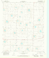
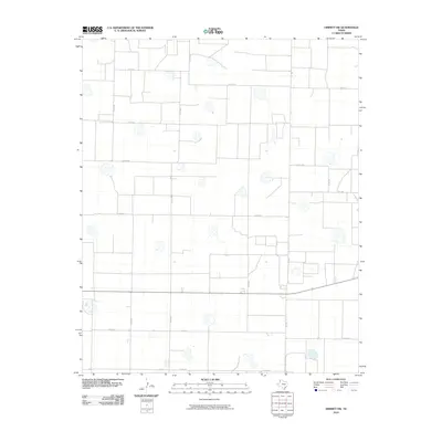
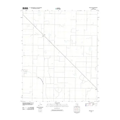
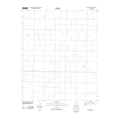
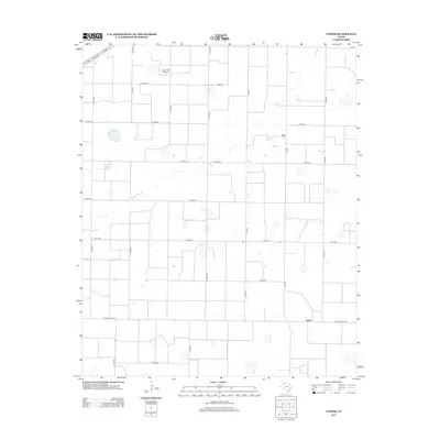
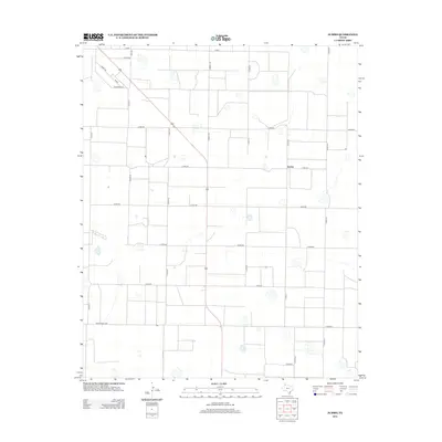
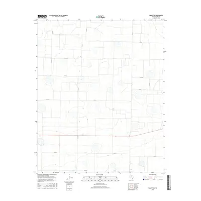
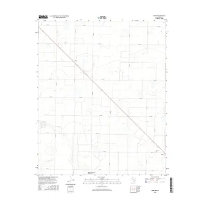
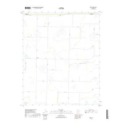
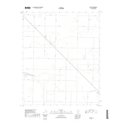
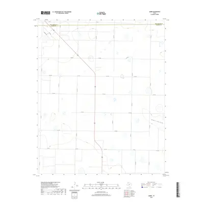
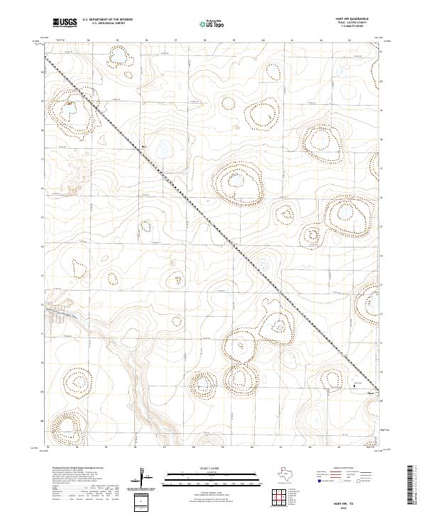
1963 Map of Hart NW
USGS Topo · Published 1965About this map
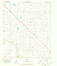
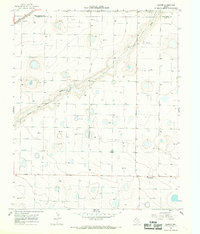
The High Plains landscape of Castro County is captured here in 1963, defined by the industrial and agricultural infrastructure of the Texas Panhandle. The Fort Worth and Denver railroad cuts a sharp diagonal across the terrain, passing through the small station points of Roy and Mulkey. This transportation corridor is mirrored by the underground infrastructure of a long Pipeline and numerous water wells, reflecting the importance of the High Plains Underground Water Conservation District No. 1 to the local economy. In the southern portion of the map, the North Fork Running Water Draw provides a rare break in the flat topography. Near the community of Hart, the Hart Cem and a nearby Borrow Pit mark the intersection of local history and the physical labor required to maintain the region's roadway network, including 194 and 145.
Find a feature on this map
10 named features on this map. Tap any name to fly to it.
Don’t see what you’re looking for? This feature index may not catch every label — zoom into the map to look around manually.
Map Details
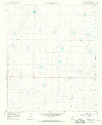
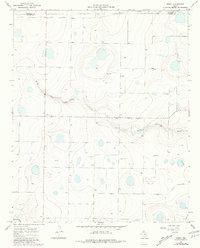
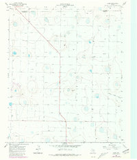
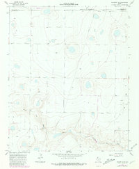
Editions of this 1963 Hart NW Map
2 editions found
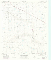
Historical Maps of Roy Through Time
60 maps found
1962 Dodd NE
Castro County, TX
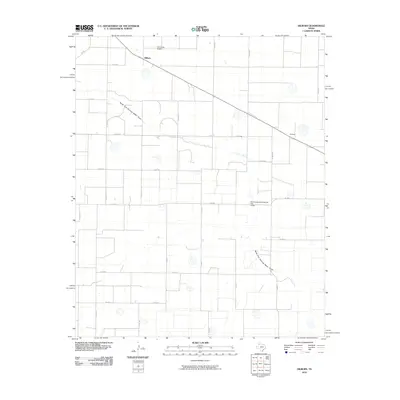
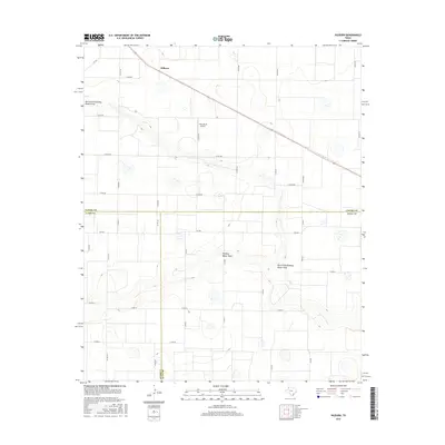
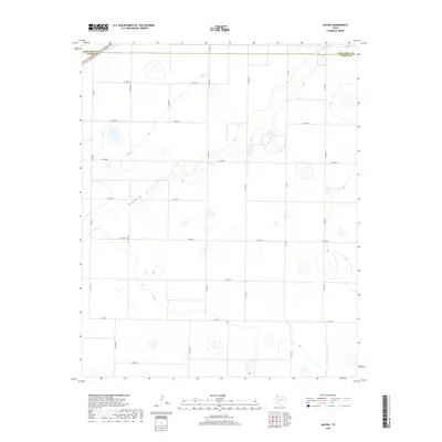
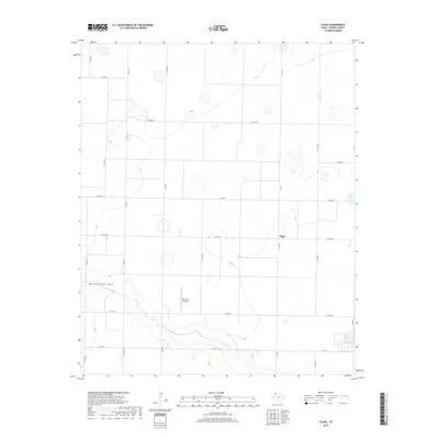
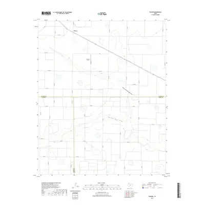
1963 Flagg
Castro County, TX
1963 Hart NW
Castro County, TX
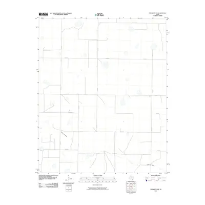
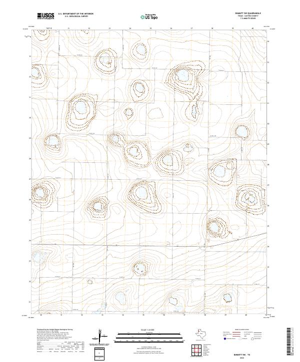
1965 Dimmitt SW
Castro County, TX
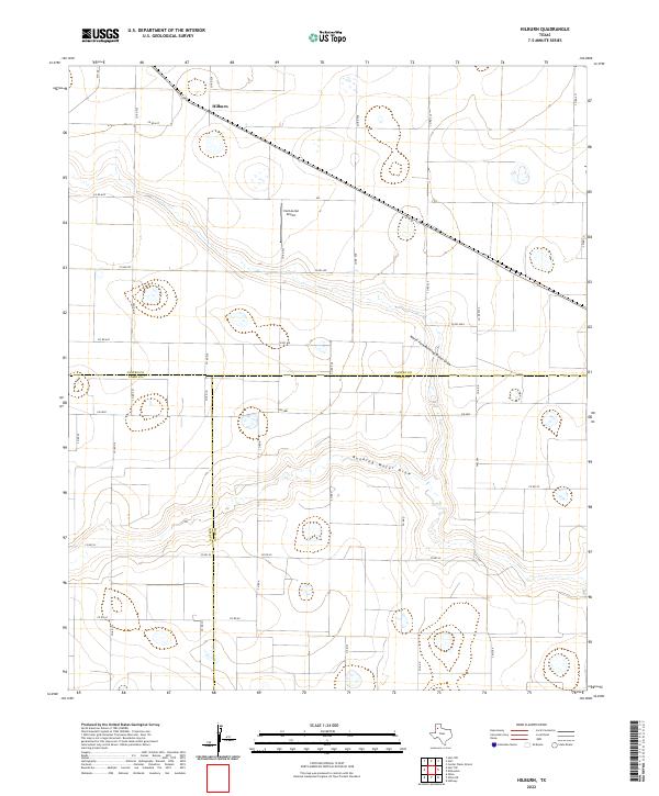
1965 Hilburn
Castro County, TX
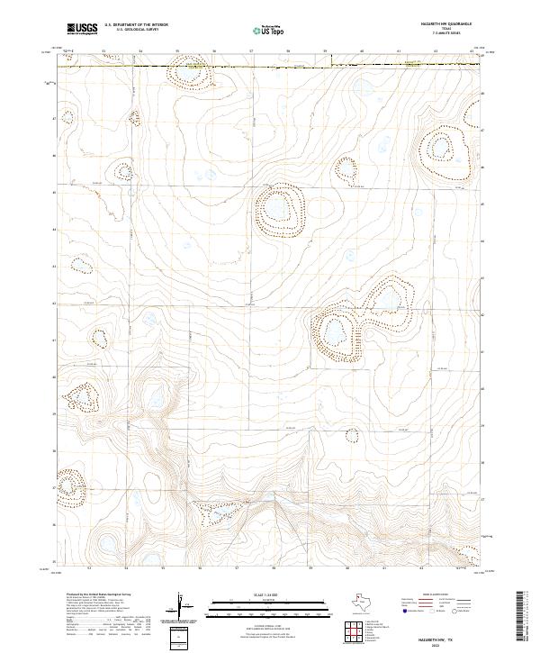
1965 Nazareth SW
Castro County, TX
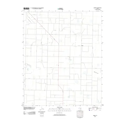
1966 Arney
Castro County, TX
1966 Easter
Castro County, TX
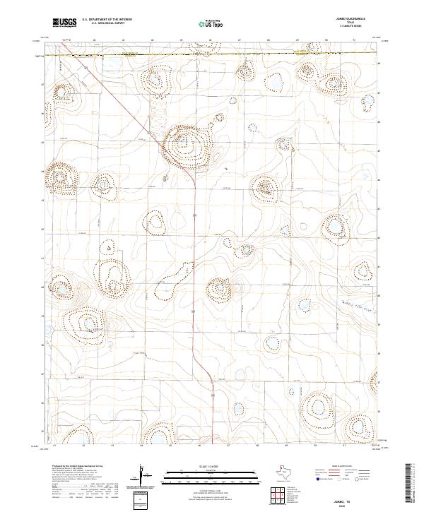
1966 Jumbo
Castro County, TX
1966 Nazareth NW
Castro County, TX
2010 Arney
Castro County, TX
2010 Dimmitt SW
Castro County, TX
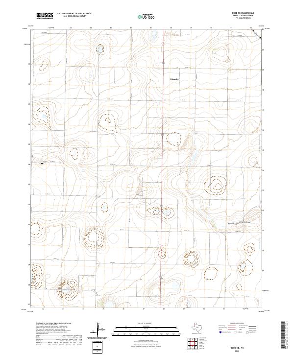
2010 Dodd NE
Castro County, TX
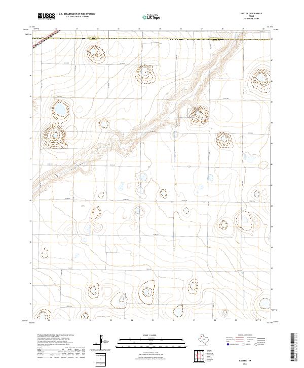
2010 Easter
Castro County, TX
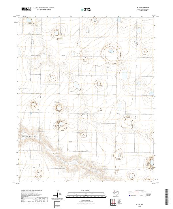
2010 Flagg
Castro County, TX
2010 Hart NW
Castro County, TX
2010 Hilburn
Castro County, TX
2010 Jumbo
Castro County, TX
2010 Nazareth NW
Castro County, TX
2010 Nazareth SW
Castro County, TX
2012 Arney
Castro County, TX
2012 Dimmitt SW
Castro County, TX
2012 Dodd NE
Castro County, TX
2012 Easter
Castro County, TX
2012 Flagg
Castro County, TX
2012 Hart NW
Castro County, TX
2012 Hilburn
Castro County, TX
2012 Jumbo
Castro County, TX
2012 Nazareth NW
Castro County, TX
2012 Nazareth SW
Castro County, TX
2016 Arney
Castro County, TX
2016 Dimmitt SW
Castro County, TX
2016 Dodd NE
Castro County, TX
2016 Easter
Castro County, TX
2016 Flagg
Castro County, TX
2016 Hart NW
Castro County, TX
2016 Hilburn
Castro County, TX
2016 Jumbo
Castro County, TX
2016 Nazareth NW
Castro County, TX
2016 Nazareth SW
Castro County, TX
2019 Arney
Castro County, TX
2019 Dimmitt SW
Castro County, TX
2019 Dodd NE
Castro County, TX
2019 Easter
Castro County, TX
2019 Flagg
Castro County, TX
2019 Hart NW
Castro County, TX
2019 Hilburn
Castro County, TX
2019 Jumbo
Castro County, TX
2019 Nazareth NW
Castro County, TX
2019 Nazareth SW
Castro County, TX
2022 Arney
Castro County, TX
2022 Dimmitt SW
Castro County, TX
2022 Dodd NE
Castro County, TX
2022 Easter
Castro County, TX
2022 Flagg
Castro County, TX
2022 Hart NW
Castro County, TX
2022 Hilburn
Castro County, TX
2022 Jumbo
Castro County, TX
2022 Nazareth NW
Castro County, TX
2022 Nazareth SW
Castro County, TX