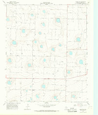
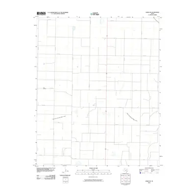
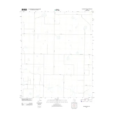
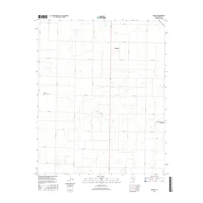
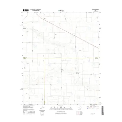
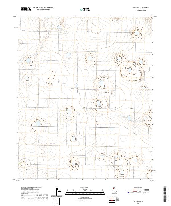
1965 Map of Nazareth SW
USGS Topo · Published 1968About this map
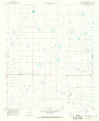
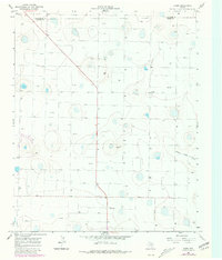
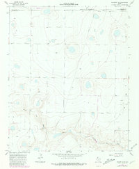
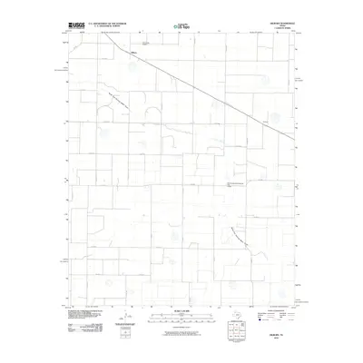
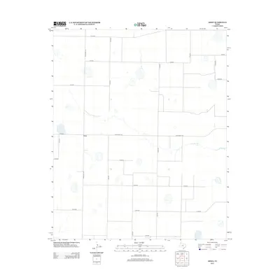
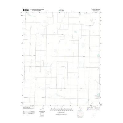
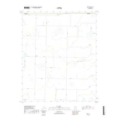
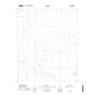
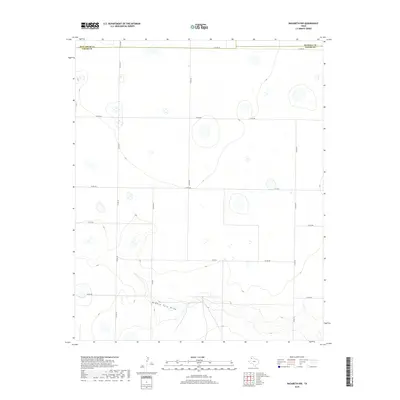
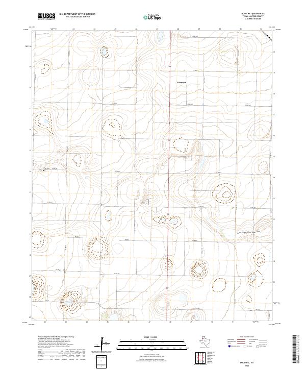
The High Plains landscape of Castro County in the mid-1960s appears here as an intricate mosaic of depressions and agricultural development. The terrain is defined by numerous playa lakes, many containing scattered Well sites that suggest the intensive irrigation practices foundational to the region's ranching and farming economy. A prominent Pipeline traverses the northwestern section, while a long east-west thoroughfare connects the area toward neighboring Nazareth and Dimmitt. Local landmarks are sparse but specific, including a Storage Bin and the small named locality of Schmucker in the southeast. Fine dashed lines delineate selected fence lines across the sectioned grid, illustrating the methodical division of the Texas Panhandle into large-scale agricultural tracts during this era of post-war stabilization.
Find a feature on this map
4 named features on this map. Tap any name to fly to it.
Don’t see what you’re looking for? This feature index may not catch every label — zoom into the map to look around manually.
Map Details
Editions of this 1965 Nazareth SW Map
This is the sole edition of this map. No revisions or reprints were ever made.
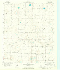
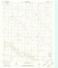
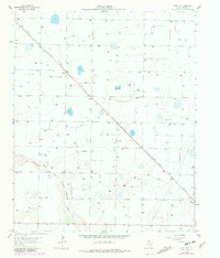
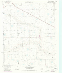
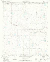
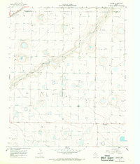
Historical Maps of Castro County Through Time
60 maps found
1962 Dodd NE
Castro County, TX
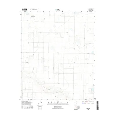
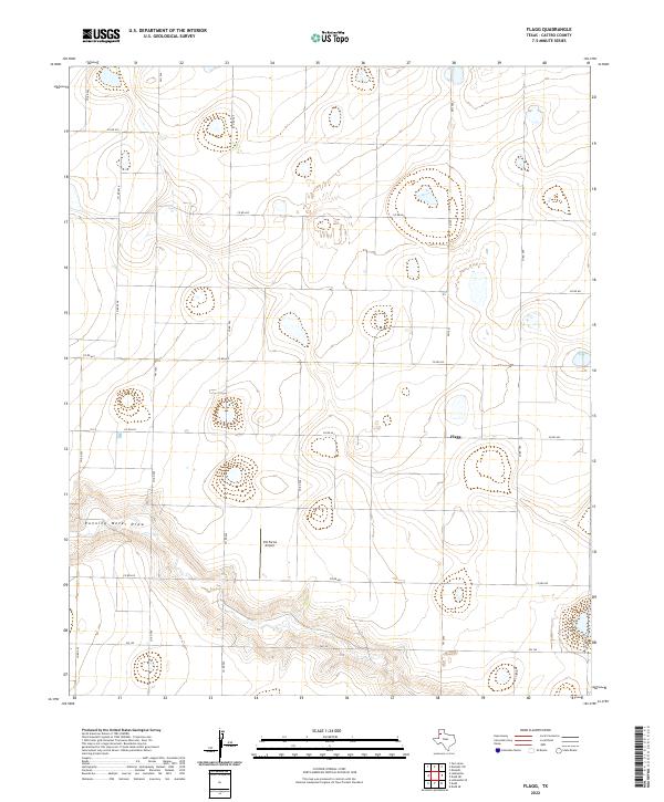
1963 Flagg
Castro County, TX
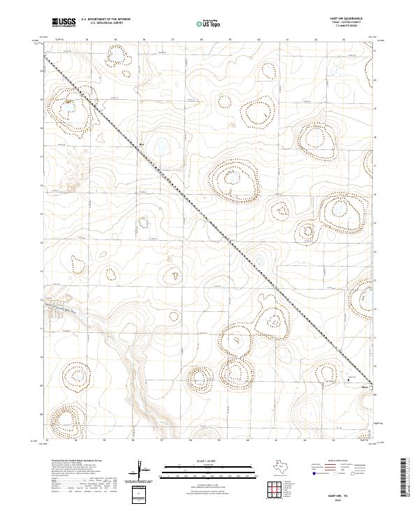
1963 Hart NW
Castro County, TX
1965 Dimmitt SW
Castro County, TX
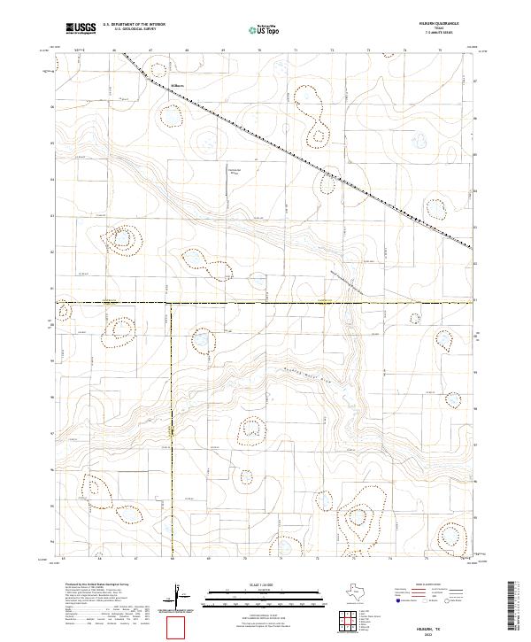
1965 Hilburn
Castro County, TX
1965 Nazareth SW
Castro County, TX
1966 Arney
Castro County, TX
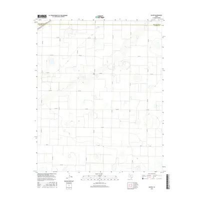
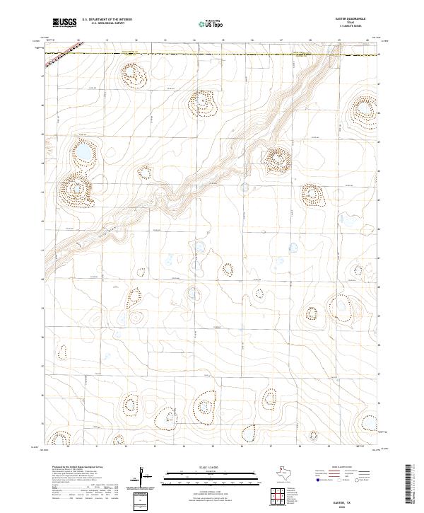
1966 Easter
Castro County, TX
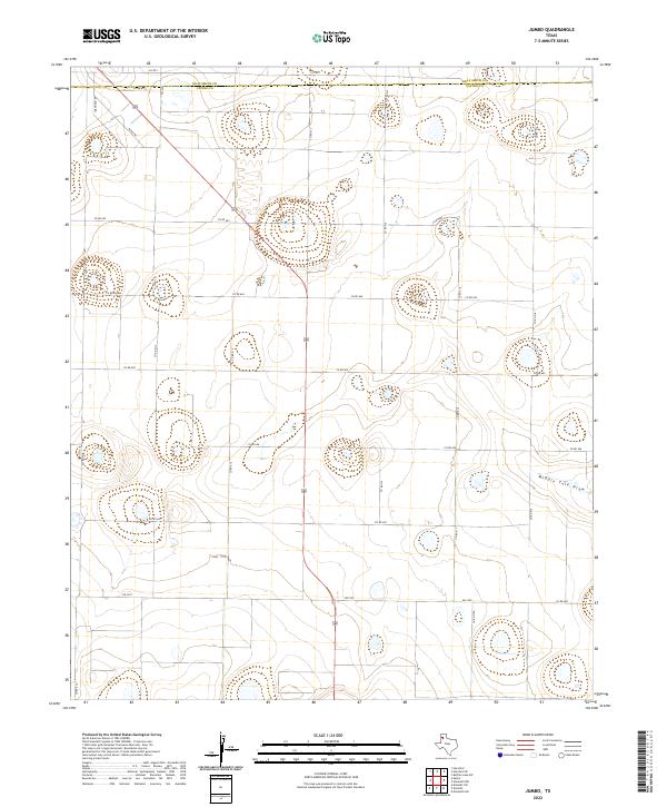
1966 Jumbo
Castro County, TX
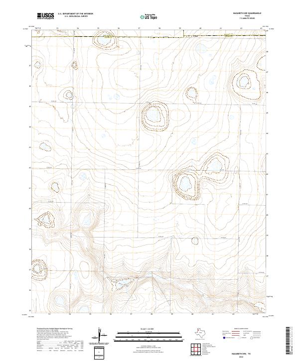
1966 Nazareth NW
Castro County, TX
2010 Arney
Castro County, TX
2010 Dimmitt SW
Castro County, TX
2010 Dodd NE
Castro County, TX
2010 Easter
Castro County, TX
2010 Flagg
Castro County, TX
2010 Hart NW
Castro County, TX
2010 Hilburn
Castro County, TX
2010 Jumbo
Castro County, TX
2010 Nazareth NW
Castro County, TX
2010 Nazareth SW
Castro County, TX
2012 Arney
Castro County, TX
2012 Dimmitt SW
Castro County, TX
2012 Dodd NE
Castro County, TX
2012 Easter
Castro County, TX
2012 Flagg
Castro County, TX
2012 Hart NW
Castro County, TX
2012 Hilburn
Castro County, TX
2012 Jumbo
Castro County, TX
2012 Nazareth NW
Castro County, TX
2012 Nazareth SW
Castro County, TX
2016 Arney
Castro County, TX
2016 Dimmitt SW
Castro County, TX
2016 Dodd NE
Castro County, TX
2016 Easter
Castro County, TX
2016 Flagg
Castro County, TX
2016 Hart NW
Castro County, TX
2016 Hilburn
Castro County, TX
2016 Jumbo
Castro County, TX
2016 Nazareth NW
Castro County, TX
2016 Nazareth SW
Castro County, TX
2019 Arney
Castro County, TX
2019 Dimmitt SW
Castro County, TX
2019 Dodd NE
Castro County, TX
2019 Easter
Castro County, TX
2019 Flagg
Castro County, TX
2019 Hart NW
Castro County, TX
2019 Hilburn
Castro County, TX
2019 Jumbo
Castro County, TX
2019 Nazareth NW
Castro County, TX
2019 Nazareth SW
Castro County, TX
2022 Arney
Castro County, TX
2022 Dimmitt SW
Castro County, TX
2022 Dodd NE
Castro County, TX
2022 Easter
Castro County, TX
2022 Flagg
Castro County, TX
2022 Hart NW
Castro County, TX
2022 Hilburn
Castro County, TX
2022 Jumbo
Castro County, TX
2022 Nazareth NW
Castro County, TX
2022 Nazareth SW
Castro County, TX