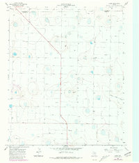
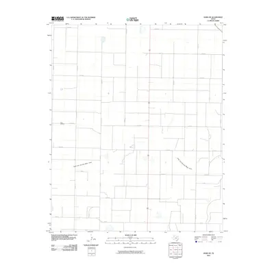
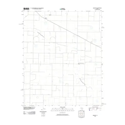
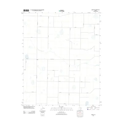
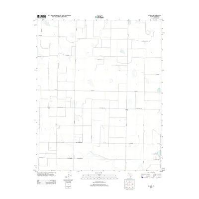
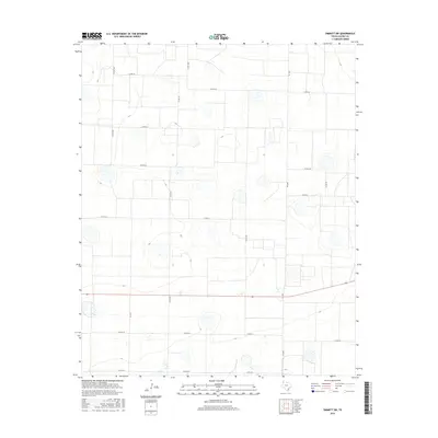
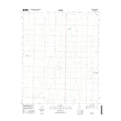
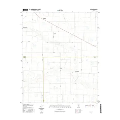
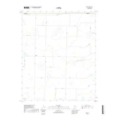
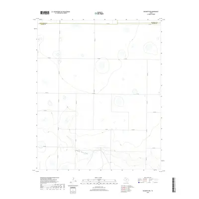
1962 Map of Dodd NE
USGS Topo · Published 1965About this map
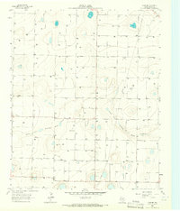
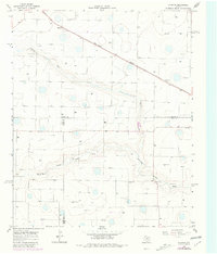
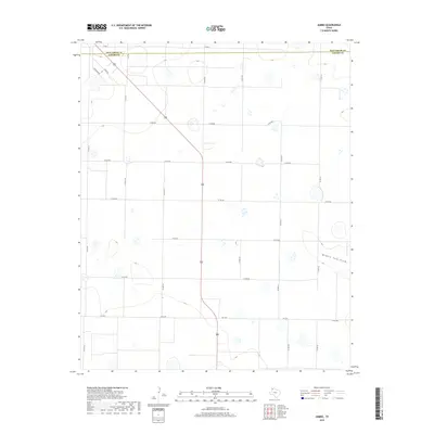
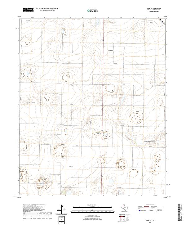
The North Fork Running Water Draw meanders across this high plains landscape in Castro County, highlighting the vital role of natural drainage in a region largely defined by agricultural land use and water conservation efforts. This 1962 survey, published by the Geological Survey and the Texas Water Commission, captures a rural network of intermittent basins and carefully managed resources. Evidence of local history and industry is sparse but significant, with the Flagg Cem providing a genealogical anchor for the area. The presence of a Sandpit and the Ft W & D railroad line along the northeastern corner points to the essential transport and extraction activities that sustained these high plains communities during the early 1960s.
Find a feature on this map
5 named features on this map. Tap any name to fly to it.
Don’t see what you’re looking for? This feature index may not catch every label — zoom into the map to look around manually.
Map Details
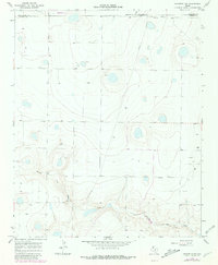
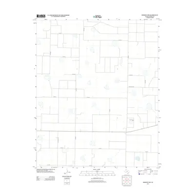
Editions of this 1962 Dodd NE Map
This is the sole edition of this map. No revisions or reprints were ever made.
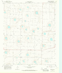
Historical Maps of Dimmitt Through Time
60 maps found
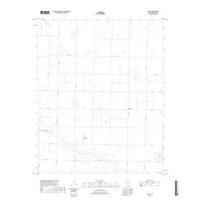
1962 Dodd NE
Castro County, TX
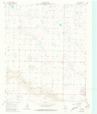
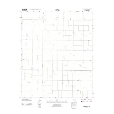
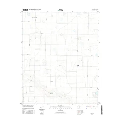
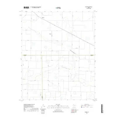
1963 Flagg
Castro County, TX
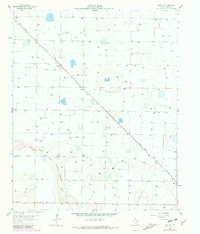
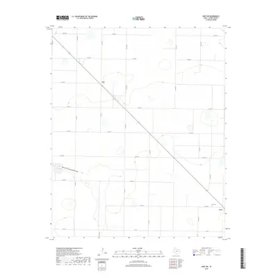
1963 Hart NW
Castro County, TX
1965 Dimmitt SW
Castro County, TX
1965 Hilburn
Castro County, TX
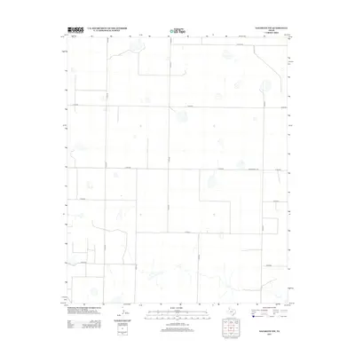
1965 Nazareth SW
Castro County, TX
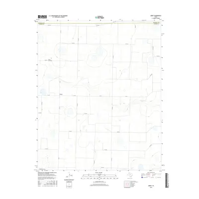
1966 Arney
Castro County, TX
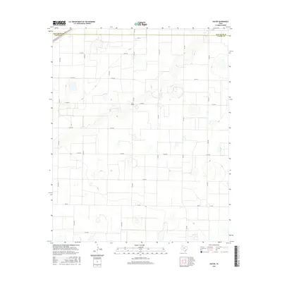
1966 Easter
Castro County, TX
1966 Jumbo
Castro County, TX
1966 Nazareth NW
Castro County, TX
2010 Arney
Castro County, TX
2010 Dimmitt SW
Castro County, TX
2010 Dodd NE
Castro County, TX
2010 Easter
Castro County, TX
2010 Flagg
Castro County, TX
2010 Hart NW
Castro County, TX
2010 Hilburn
Castro County, TX
2010 Jumbo
Castro County, TX
2010 Nazareth NW
Castro County, TX
2010 Nazareth SW
Castro County, TX
2012 Arney
Castro County, TX
2012 Dimmitt SW
Castro County, TX
2012 Dodd NE
Castro County, TX
2012 Easter
Castro County, TX
2012 Flagg
Castro County, TX
2012 Hart NW
Castro County, TX
2012 Hilburn
Castro County, TX
2012 Jumbo
Castro County, TX
2012 Nazareth NW
Castro County, TX
2012 Nazareth SW
Castro County, TX
2016 Arney
Castro County, TX
2016 Dimmitt SW
Castro County, TX
2016 Dodd NE
Castro County, TX
2016 Easter
Castro County, TX
2016 Flagg
Castro County, TX
2016 Hart NW
Castro County, TX
2016 Hilburn
Castro County, TX
2016 Jumbo
Castro County, TX
2016 Nazareth NW
Castro County, TX
2016 Nazareth SW
Castro County, TX
2019 Arney
Castro County, TX
2019 Dimmitt SW
Castro County, TX
2019 Dodd NE
Castro County, TX
2019 Easter
Castro County, TX
2019 Flagg
Castro County, TX
2019 Hart NW
Castro County, TX
2019 Hilburn
Castro County, TX
2019 Jumbo
Castro County, TX
2019 Nazareth NW
Castro County, TX
2019 Nazareth SW
Castro County, TX
2022 Arney
Castro County, TX
2022 Dimmitt SW
Castro County, TX
2022 Dodd NE
Castro County, TX
2022 Easter
Castro County, TX
2022 Flagg
Castro County, TX
2022 Hart NW
Castro County, TX
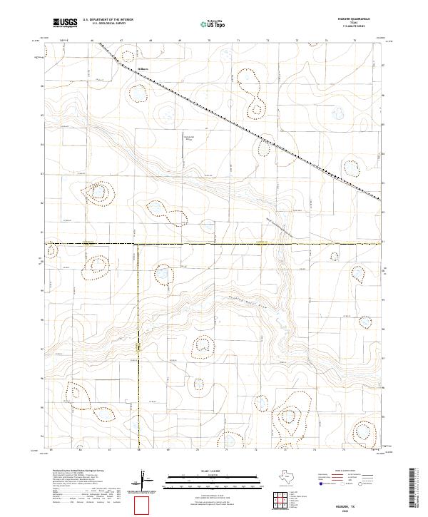
2022 Hilburn
Castro County, TX
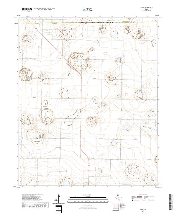
2022 Jumbo
Castro County, TX
2022 Nazareth NW
Castro County, TX
2022 Nazareth SW
Castro County, TX