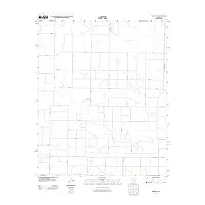
2012 Map of Hart SW
USGS Topo · Published 2012About this map
Thompson Gin stands as a focal point in this agricultural landscape of the Texas Panhandle, situated near the intersection of Co Rd-62 and Ranch Road 1842. The area is defined by a strictly surveyed grid of county roads, such as Co Rd-52 and Co Rd-30, which facilitate the movement of cotton and other crops across Lamb County. This 2012 survey illustrates the modern irrigation and land management patterns of the region, where the flat terrain is dotted with small depressions and intermittent water features. Major transit corridors like Ranch Road 168 and Ranch Road 2881 provide the primary connections to larger regional centers, while unique local designations like Tempcopy St hint at specific administrative or residential developments within the rural landscape.
Find a feature on this map
36 named features on this map. Tap any name to fly to it.
Don’t see what you’re looking for? This feature index may not catch every label — zoom into the map to look around manually.
Map Details
Editions of this 2012 Hart SW Map
This is the sole edition of this map. No revisions or reprints were ever made.
Other maps of this area

1954 · Clovis
USGS Topo · 1:250,000

1958 · Clovis
USGS Topo · 1:250,000

1962 · Dodd NE
USGS Topo · 1:24,000

1962 · Springlake
USGS Topo · 1:24,000

1963 · Hart NW
USGS Topo · 1:24,000

1963 · Olton
USGS Topo · 1:24,000

1963 · Dodd SE
USGS Topo · 1:24,000

1963 · Hart SW
USGS Topo · 1:24,000

1965 · Hart
USGS Topo · 1:24,000

1965 · Hilburn
USGS Topo · 1:24,000