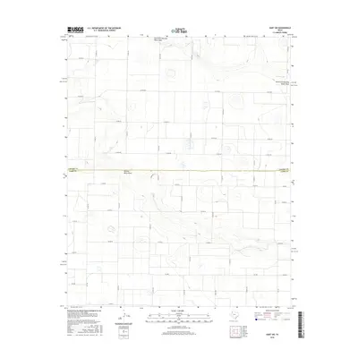
2016 Map of Hart SW
USGS Topo · Published 2016About this map
Running Water Draw and its northern branch, the North Fork Running Water Draw, dominate the geography of this West Texas landscape along the border of Castro and Lamb counties. This 2016 survey illustrates a vast grid of agricultural development, where a complex network of local roads like Co RD 519 and Co RD 628 connects the high plains terrain. The presence of Lemons Lake in the northeastern quadrant provides a rare hydrological landmark in an otherwise semi-arid region defined by ephemeral drainage patterns. For the researcher or historian, the map details the precise alignment of state-maintained routes such as FM 1842 and FM 168, which serve as the primary conduits through this productive cotton and cattle country.
Find a feature on this map
38 named features on this map. Tap any name to fly to it.
Don’t see what you’re looking for? This feature index may not catch every label — zoom into the map to look around manually.
Map Details
Editions of this 2016 Hart SW Map
This is the sole edition of this map. No revisions or reprints were ever made.
Other maps of this area

1954 · Clovis
USGS Topo · 1:250,000

1958 · Clovis
USGS Topo · 1:250,000

1962 · Dodd NE
USGS Topo · 1:24,000

1962 · Springlake
USGS Topo · 1:24,000

1963 · Hart NW
USGS Topo · 1:24,000

1963 · Olton
USGS Topo · 1:24,000

1963 · Dodd SE
USGS Topo · 1:24,000

1963 · Hart SW
USGS Topo · 1:24,000

1965 · Hart
USGS Topo · 1:24,000

1965 · Hilburn
USGS Topo · 1:24,000