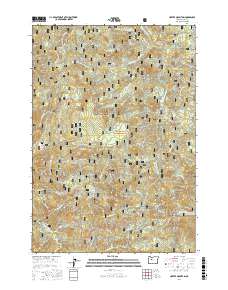
2017 Map of Harter Mountain
USGS Topo · Published 2017About this map
The Middle Santiam River and its numerous tributaries, including Soda Fork and Bachelor Cr, define the high-elevation drainage patterns within the Willamette National Forest. This 2017 survey documents a landscape dominated by the peaks of the Cascade Range, including the prominent Harter Mountain and Chimney Peak. Historically significant transportation routes are represented by the Santiam Wagon Road W, which runs parallel to the southern bank of the S Santiam River. Higher up the ridge, Tombstone Pass and the nearby Tombstone Prairie serve as key landmarks for the transition between watersheds. The map detail highlights an extensive network of forestry access, such as Natl Forest Develop Road 2041 RD, which has superseded the early pioneer trails that once navigated these mountain passes.
Find a feature on this map
66 named features on this map. Tap any name to fly to it.
Don’t see what you’re looking for? This feature index may not catch every label — zoom into the map to look around manually.
Map Details
Editions of this 2017 Harter Mountain Map
This is the sole edition of this map. No revisions or reprints were ever made.
Other maps of this area

1929 · Mill City
USGS Topo · 1:125,000

1934 · Mc Kenzie Bridge
USGS Topo · 1:96,000

1940 · Mc Kenzie Bridge
USGS Topo · 1:125,000

1953 · Salem
USGS Topo · 1:250,000

1954 · Salem
USGS Topo · 1:250,000

1955 · Cascadia
USGS Topo · 1:62,500

1955 · Echo Mountain
USGS Topo · 1:62,500

1956 · Quartzville
USGS Topo · 1:62,500

1956 · Detroit
USGS Topo · 1:62,500

1960 · Salem
USGS Topo · 1:250,000