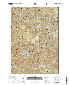
2020 Map of Harter Mountain
USGS Topo · Published 2020About this map
The Willamette National Forest encompasses this section of the Cascade Range, where high ridges and deep river drainages define the landscape. Historical transit is preserved here through the Santiam Wagon Road W, a crucial artery for early travel through these mountains. The terrain is dominated by significant peaks such as Harter Mtn, Iron Mountain, and Chimney Peak, which rise above the confluence of the Middle Santiam River and the South Santiam River. The map highlights specialized environments like Tombstone Prairie near Tombstone Pass, offering insights into the high-altitude meadows and natural clearings that served as landmarks for travelers and pioneers navigating the steep valleys of Soda Fork and Sevenmile Creek.
Find a feature on this map
43 named features on this map. Tap any name to fly to it.
Don’t see what you’re looking for? This feature index may not catch every label — zoom into the map to look around manually.
Map Details
Editions of this 2020 Harter Mountain Map
This is the sole edition of this map. No revisions or reprints were ever made.
Other maps of this area

1929 · Mill City
USGS Topo · 1:125,000

1934 · Mc Kenzie Bridge
USGS Topo · 1:96,000

1940 · Mc Kenzie Bridge
USGS Topo · 1:125,000

1953 · Salem
USGS Topo · 1:250,000

1954 · Salem
USGS Topo · 1:250,000

1955 · Cascadia
USGS Topo · 1:62,500

1955 · Echo Mountain
USGS Topo · 1:62,500

1956 · Quartzville
USGS Topo · 1:62,500

1956 · Detroit
USGS Topo · 1:62,500

1960 · Salem
USGS Topo · 1:250,000