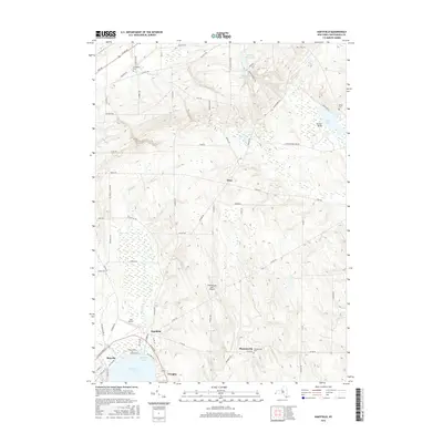
2016 Map of Hartfield
USGS Topo · Published 2016About this map
Chautauqua Lake anchors the southern portion of this region, where the northern tip of the lake meets Hartfield Bay. The village of Hartfield serves as a central hub for the surrounding landscape, which is defined by a series of north-south running valleys and ridges. Drainage from the uplands flows through Big Inlet and Little Inlet toward the lake, while to the north, Slippery Rock Cr and Corell Cr carve through the terrain toward the shores of Lake Erie just beyond the map's boundary.
Find a feature on this map
80 named features on this map. Tap any name to fly to it.
Don’t see what you’re looking for? This feature index may not catch every label — zoom into the map to look around manually.
Map Details
Editions of this 2016 Hartfield Map
This is the sole edition of this map. No revisions or reprints were ever made.
Other maps of this area

1899 · Westfield
USGS Topo · 1:62,500

1900 · Dunkirk
USGS Topo · 1:62,500

1904 · Chautaqua
USGS Topo · 1:62,500

1905 · Clymer
USGS Topo · 1:62,500

1939 · Clymer
USGS Topo · 1:62,500

1941 · Chautauqua
USGS Topo · 1:62,500

1941 · Clymer
USGS Topo · 1:62,500

1943 · Dunkirk
USGS Topo · 1:62,500

1954 · Chautauqua
USGS Topo · 1:24,000

1954 · Ellery Center
USGS Topo · 1:24,000