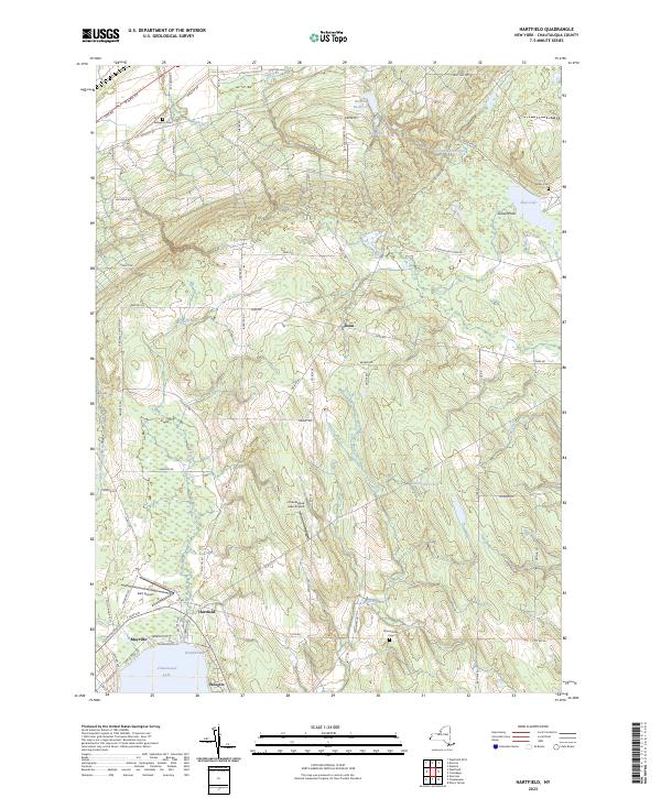
2023 Map of Hartfield
USGS Topo · Published 2023About this map
Chautauqua Lake dominates the southern landscape of this Chautauqua County region, where the northern tip of the lake meets the settlements of Hartfield and Mayville. The area's aviation infrastructure is represented by Dart Airport and the Chautauqua Lake Airpark, while the northern reaches transition into a network of reservoirs and watercourses including Brocton Reservoir, Burr Reservoir, and Walker Creek. This 2023 survey illustrates the complex drainage patterns of the Allegheny Plateau, with Dewittville Creek and Slippery Rock Creek cutting through the upland terrain toward Bear Lake. Local history is anchored by several burial grounds, including Evergreen Cem and Kelley Cem, alongside smaller communities like Wooglin and Dean.
Find a feature on this map
81 named features on this map. Tap any name to fly to it.
Don’t see what you’re looking for? This feature index may not catch every label — zoom into the map to look around manually.
Map Details
Editions of this 2023 Hartfield Map
This is the sole edition of this map. No revisions or reprints were ever made.
Other maps of this area

1899 · Westfield
USGS Topo · 1:62,500

1900 · Dunkirk
USGS Topo · 1:62,500

1904 · Chautaqua
USGS Topo · 1:62,500

1905 · Clymer
USGS Topo · 1:62,500

1939 · Clymer
USGS Topo · 1:62,500

1941 · Chautauqua
USGS Topo · 1:62,500

1941 · Clymer
USGS Topo · 1:62,500

1943 · Dunkirk
USGS Topo · 1:62,500

1954 · Chautauqua
USGS Topo · 1:24,000

1954 · Ellery Center
USGS Topo · 1:24,000