
1960 Map of Hartford City East
USGS Topo · Published 1961About this map
The eastern side of Hartford City serves as the focal point of this 1960 survey, illustrating a Midwestern county seat integrated with its surrounding agricultural landscape. Civic and social life is densely mapped within the city limits, featuring the Courthouse, City Hall, and the Fairgrounds, while the edges of town give way to family and fraternal landmarks like the IOOF Cemetery, Willman Cem, and Lion Cem. Beyond the residential streets, the landscape is defined by the Pennsylvania railroad corridor and a complex drainage network including Prairie Creek and Little Lick Creek, vital for the local farming economy.
Find a feature on this map
48 named features on this map. Tap any name to fly to it.
Don’t see what you’re looking for? This feature index may not catch every label — zoom into the map to look around manually.
Map Details
Editions of this 1960 Hartford City East Map
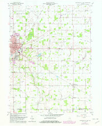
Historical Maps of Hartford City Through Time
18 maps found
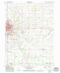
1960 Hartford City East
Blackford County, IN
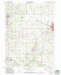
1960 Hartford City West
Blackford County, IN
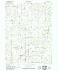
1962 Roll
Blackford County, IN
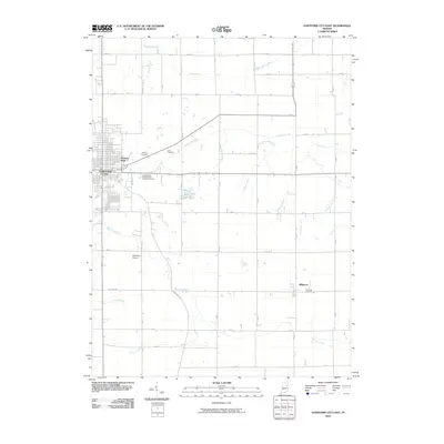
2010 Hartford City East
Blackford County, IN
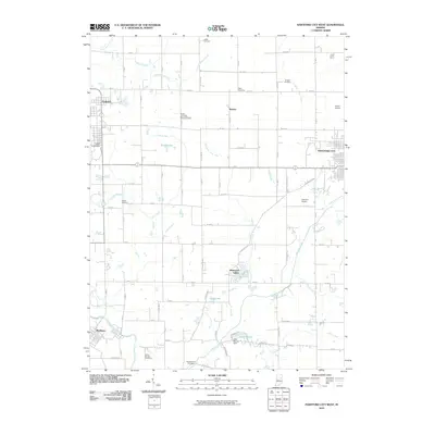
2010 Hartford City West
Blackford County, IN
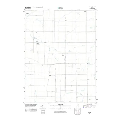
2010 Roll
Blackford County, IN
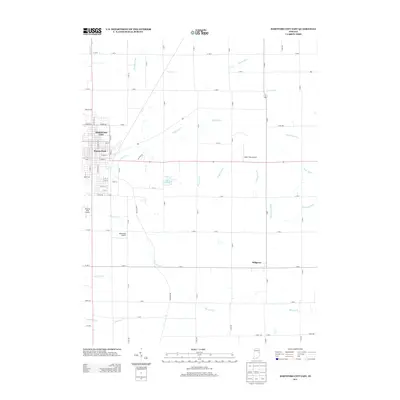
2013 Hartford City East
Blackford County, IN
2013 Hartford City West
Blackford County, IN
2013 Roll
Blackford County, IN
2016 Hartford City East
Blackford County, IN
2016 Hartford City West
Blackford County, IN
2016 Roll
Blackford County, IN
2019 Hartford City East
Blackford County, IN
2019 Hartford City West
Blackford County, IN
2019 Roll
Blackford County, IN
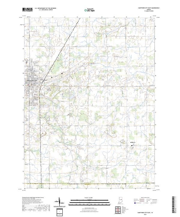
2022 Hartford City East
Blackford County, IN
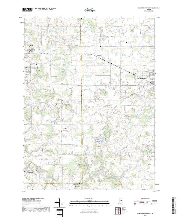
2022 Hartford City West
Blackford County, IN
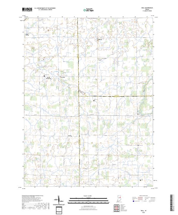
2022 Roll
Blackford County, IN